Danbury in Fairfield County, Connecticut — The American Northeast (New England)
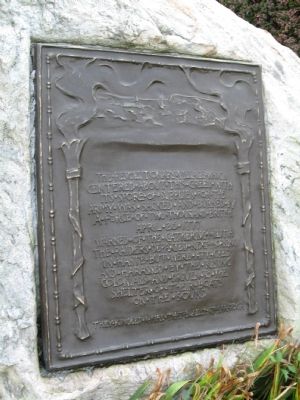
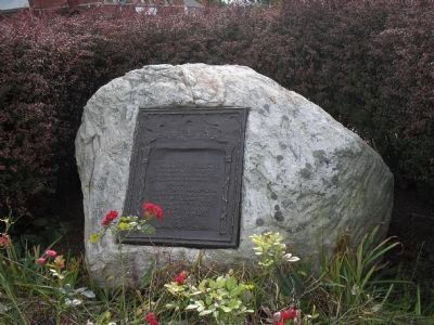
The Danbury Raid
centered about this green with
its stores of supplies for the
army was sacked and burned by
a force of two thousand British
April 26, 1777
Warned of the gathering militia
the raiders departed next morning
in haste but were attacked
and harassed by the rising
colonials and driven to the
shelter of their boats
on the sound
They kindled a fire that blazed at Saratoga
Topics and series. This historical marker is listed in this topic list: War, US Revolutionary. In addition, it is included in the Battlefield Trails - Revolutionary War series list. A significant historical month for this entry is April 1816.
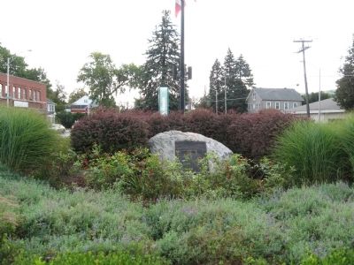
Location. 41° 23.423′ N, 73° 26.888′ W. Marker is in Danbury, Connecticut, in Fairfield County. Marker is at the intersection of Main Street and Wooster Street, on the left when traveling south on Main Street. Located at the south end of Elmwood Park. Touch for map. Marker is in this post office area: Danbury CT 06810, United States of America. Touch for directions.
Other nearby markers. At least 8 other markers are within walking distance of this marker. Danbury 9-11 Memorial (a few steps from this marker); The Circus Comes to Town (within shouting distance of this marker); Danbury (within shouting distance of this marker); The Danbury Court House (within shouting distance of this marker); Oldest Cemetery 1684 (within shouting distance of this marker); Schools and Education (about 300 feet away, measured in a direct line); Elmwood Park (about 500 feet away); Industrial Strength Danbury (about 700 feet away). Touch for a list and map of all markers in Danbury.
Related markers. Click here for a list of markers that are related to this marker. To better understand the relationship, study each marker in the order shown.
Also see . . . The Danbury Raid. THE CONNECTICUT SOCIETY OF THE SONS OF THE AMERICAN REVOLUTION entry (Submitted on October 2, 2009, by Michael Herrick of Southbury, Connecticut.)
Credits. This page was last revised on September 16, 2020. It was originally submitted on September 29, 2009, by Michael Herrick of Southbury, Connecticut. This page has been viewed 2,175 times since then and 22 times this year. Last updated on October 22, 2009, by Dale K. Benington of Toledo, Ohio. Photos: 1. submitted on September 29, 2009, by Michael Herrick of Southbury, Connecticut. 2. submitted on October 17, 2009, by Bill Coughlin of Woodland Park, New Jersey. 3. submitted on September 29, 2009, by Michael Herrick of Southbury, Connecticut. • Kevin W. was the editor who published this page.


