Moncks Corner in Berkeley County, South Carolina — The American South (South Atlantic)
Santee Canal
Inscription.
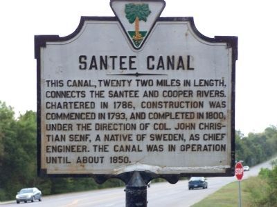
This canal, twenty-two miles in length, connects the Santee and Cooper Rivers. Chartered in 1786, construction was commenced in 1793, and completed in 1800, under the direction of Col. John Christian Senf, a native of Sweden, as Chief Engineer. The canal was in operation until about 1850. (Marker Number 8-3.)
Topics. This historical marker is listed in these topic lists: Man-Made Features • Waterways & Vessels. A significant historical year for this entry is 1786.
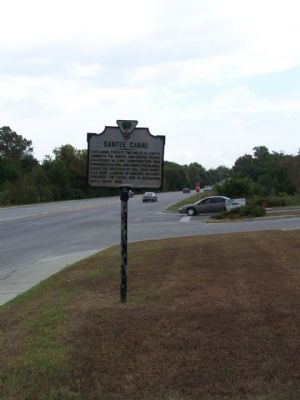
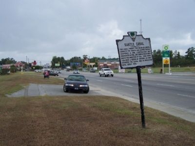
Location. 33° 12.63′ N, 79° 58.831′ W. Marker is in Moncks Corner, South Carolina, in Berkeley County. Marker is on U.S. 52/71 near Dock Road, on the right when traveling north. Touch for map. Marker is in this post office area: Moncks Corner SC 29461, United States of America. Touch for directions.
Other nearby markers. At least 8 other markers are within 2 miles of this marker, measured as the crow flies. First Site of Moncks Corner (approx. 0.7 miles away); Old Moncks Corner (approx. 0.8 miles away); Biggin Church (approx. 0.8 miles away); Berkeley Training High School (approx. 1.1 miles away); Stony Landing Plantation (approx. 1.2 miles away); a different marker also named Santee Canal (approx. 1.2 miles away); Berkeley County Confederate Monument (approx. 1.3 miles away); Berkeley County Museum and Heritage Center: A County's Story (approx. 1.3 miles away). Touch for a list and map of all markers in Moncks Corner.
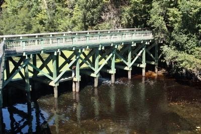
Regarding Santee Canal. The Santee Canal was constructed between 1793 and 1800 under the direction of Col. John Christian Senf, South Carolina State Engineer. Conceived to provide a shorter, safer water route from inland South Carolina to Charleston, the canal was one of the earliest important canals in the United States and perhaps the earliest major internal improvement project in the state. Originally intended as a delivery route for foodstuffs, the advent of successful cotton production made the canal more useful for transporting cotton bales. In 1830, during its most prosperous period, 720 boats arrived in Charleston bearing about 70,000 bales of cotton via the canal. The canal route was twenty-two miles long, beginning two miles below Greenwood Swamp on the Santee River and entering the Cooper River at Stoney Landing, approximately two miles east of Moncks Corner. The canal was thirty-five feet wide at the top and five and one half feet deep, sloping to a bottom width of twenty feet. With the exception of a wooden tidal lock, all the locks were made of brick and stone. In addition to the canal itself, there were several warehouses, keepers’ houses, and other ancillary buildings along the route. All associated outbuildings, turning basins, lock bridges and the wooden lock have been destroyed. The towpaths are visible for large parts of the canal. The remains of the canal are overgrown with vegetation
and are rapidly deteriorating. Listed in the National Register May 5, 1982. (S.C. Dept. of Archives and History)
Also see . . .
1. Santee Canal. Wikipedia entry (Submitted on October 24, 2009, by Mike Stroud of Bluffton, South Carolina.)
2. Old Santee Canal Park. Park website homepage (Submitted on October 24, 2009, by Mike Stroud of Bluffton, South Carolina.)
Credits. This page was last revised on June 4, 2021. It was originally submitted on October 24, 2009, by Mike Stroud of Bluffton, South Carolina. This page has been viewed 2,064 times since then and 138 times this year. Photos: 1, 2, 3, 4. submitted on October 24, 2009, by Mike Stroud of Bluffton, South Carolina. • Craig Swain was the editor who published this page.


