Artillery
Rich Mountain Battlefield
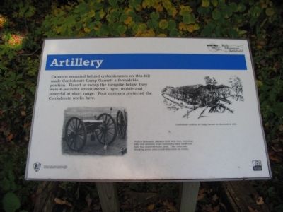
Cannons mounted behind embankments on this hill made Confederate Camp Garnett a formidable position. Placed to sweep the turnpike below, they were 6-pounder smoothbores - light, mobile, and powerful at short range. Four cannons protected the Confederate works here.
At Rich Mountain, cannons fired solid shot, shell, exploding balls and cannister (cans containing many small iron balls that scattered when fired). Their noise and shocking power alone could demoralize an enemy.
Topics. This historical marker is listed in this topic list: War, US Civil.
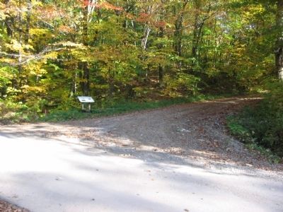
Location. 38° 52.2′ N, 79° 57.288′ W. Marker is near Beverly, West Virginia, in Randolph County. Marker is on Rich Mountain Road / Files Creek Road (County Route 37-8), on the right when traveling east. Located in the Rich Mountain Battlefield's Camp Garnett section. Touch for map. Marker is in this post office area: Mabie WV 26278, United States of America. Touch for directions.
Other nearby markers. At least 8 other markers are within 2 miles of this marker, measured as the crow flies. Camp Garnett (within shouting distance of this marker); Fortifications (within shouting distance of this marker); Staunton-Parkersburg Turnpike (within shouting distance of this marker); a different marker also named Camp Garnett (about 300 feet away, measured in a direct line); General George B. McClellan
More about this marker. On the left is a photo of a 6-pdr Field Gun. On the right is an illustration depicting Confederate artillery at Camp Garnett as sketched in 1861.
Credits. This page was last revised on January 14, 2021. It was originally submitted on October 24, 2009, by Craig Swain of Leesburg, Virginia. This page has been viewed 884 times since then and 22 times this year. Last updated on January 14, 2021, by Craig Doda of Napoleon, Ohio. Photos: 1, 2. submitted on October 24, 2009, by Craig Swain of Leesburg, Virginia. • Devry Becker Jones was the editor who published this page.

