Mabie in Randolph County, West Virginia — The American South (Appalachia)
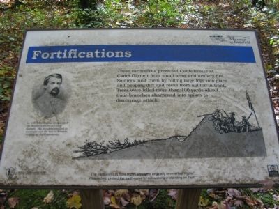
Fortifications
Rich Mountain Battlefield
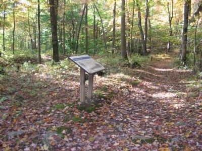
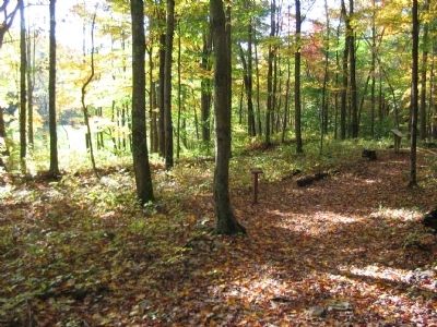
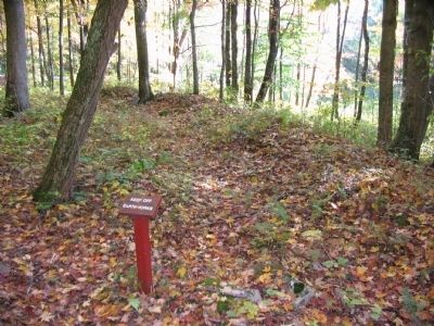
The earthworks in front of this sign were originally several feet higher. Please help protect the earthworks by not walking or standing on them.
Topics. This historical marker is listed in this topic list: War, US Civil.
Location. 38° 52.23′ N, 79° 57.296′ W. Marker is in Mabie, West Virginia, in Randolph County. Marker is on Rich Mountain Road / Files Creek Road (County Route 37/8), on the right when traveling west. Located in the Rich Mountain Battlefield's Camp Garnett section. Touch for map. Marker is in this post office area: Mabie WV 26278, United States of America. Touch for directions.
Other nearby markers. At least 8 other markers are within 2 miles of this marker, measured as the crow flies. Camp Garnett (within shouting distance of this marker); Artillery (within shouting distance of this marker); Staunton-Parkersburg Turnpike (within shouting distance of this marker); General George B. McClellan (about 300 feet away, measured in a direct line); a different marker also named Camp Garnett (about 300 feet away); Welcome to Rich Mountain Battlefield (approx. 1.1 miles away); Rich Mountain (approx. 1.1 miles away); Battle of Rich Mountain (approx. 1.2 miles away). Touch for a list and map of all markers in Mabie.
More about this marker. On the left is a portrait of Lt. Col. John Pegram who commanded the Southern forces at Camp Garnett. His blunders resulted in surrender and the loss of Western Virginia by the Confederacy. In the center of the marker is a profile view of a typical earthwork defense used in the Civil War.
Also see . . . Camp Garnett. Additional illustrations of the camp from the Rich Mountain Battlefield Association web site. (Submitted on October 25, 2009, by Craig Swain of Leesburg, Virginia.)
Credits. This page was last revised on July 18, 2018. It was originally submitted on October 25, 2009, by Craig Swain of Leesburg, Virginia. This page has been viewed 845 times since then and 18 times this year. Photos: 1, 2, 3, 4. submitted on October 25, 2009, by Craig Swain of Leesburg, Virginia.


