Manassas, Virginia — The American South (Mid-Atlantic)
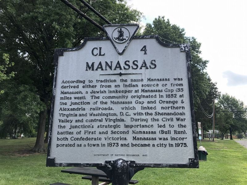
Manassas
Erected 1991 by Department of Historic Resources. (Marker Number CL-4.)
Topics and series. This historical marker is listed in these topic lists: Political Subdivisions • War, US Civil. In addition, it is included in the Virginia Department of Historic Resources (DHR) series list. A significant historical year for this entry is 1852.
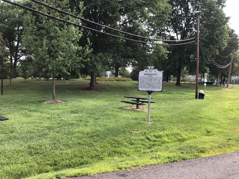
Location. 38° 45.646′ N, 77° 28.607′ W. Marker is in Manassas, Virginia. Marker is at the intersection of Stuart Avenue and Grant Avenue (Business Virginia Route 234), on the left when traveling east on Stuart Avenue. Marker is located on the grounds of Nelson Park. Touch for map. Marker is in this post office area: Manassas VA 20110, United States of America. Touch for directions.
Other nearby markers. At least 8 other markers are within walking distance of this marker. Manassas 1892 (approx. 0.6 miles away); Prince William County World War I Memorial (approx. 0.6 miles away); In Commemoration of the Manassas National Jubilee of Peace (approx. 0.6 miles away); Peace Jubilee (approx. 0.6 miles away); Answering the Call to Service (approx. 0.6 miles away); Fifth Prince William County Courthouse (approx. 0.6 miles away); Old Bennett School (approx. 0.6 miles away); Manassas 1900 (approx. 0.7 miles away). Touch for a list and map of all markers in Manassas.
Also see . . .
1. Manassas, Virginia. City of Manassas website (Submitted on October 26, 2009.)
2. Manassas, Virginia. Wikipedia (Submitted on October 26, 2009.)
Credits. This page was last revised on July 8, 2021. It was originally submitted on October 26, 2009. This page has been viewed 2,083 times since then and 231 times this year. Photos: 1, 2. submitted on July 5, 2020, by Devry Becker Jones of Washington, District of Columbia. • Craig Swain was the editor who published this page.

