Madison near Hendersonville in Davidson County, Tennessee — The American South (East South Central)
Davidson County / Sumner County
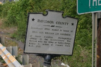
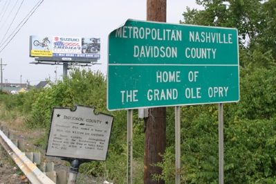
Davidson County. Established 1783; named in honor of Brig. Gen. William Lee Davidson of North Carolina. Distinguished officer in the Revolutionary War. Served with the Army at Valley Forge. Killed in action at Cowan’s Ford, N.C., 1781.
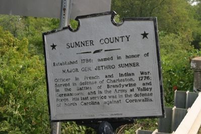
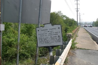
Sumner County. Established 1786; named in honor of Major Gen. Jethro Sumner. Officer in French and Indian War; in the Battles of Brandywine and Germantown; and in the Army at Valley Forge. His last service was in the defense of North Carolina against Cornwallis.
Erected by Tennessee Historical Commission.
Topics and series. This historical marker is listed in these topic lists: Colonial Era • Settlements & Settlers • War, French and Indian • War, US Civil. In addition, it is included in the Tennessee Historical Commission series list. A significant historical year for this entry is 1783.
Location. 36° 18.567′ N, 86° 40.35′ W. Marker is near Hendersonville, Tennessee, in Davidson County. It is in Madison. Marker is on U.S. 31E, on the right when traveling west. Touch for map. Marker is in this post office area: Madison TN 37115, United States of America. Touch for directions.
Other nearby markers. At least 8 other markers are within 2 miles of this marker, measured as the crow flies. Historic Monthaven (approx. 0.6 miles away); Mansker Creek (approx. 1.2 miles away); Bowen Plantation House (approx. 1.3 miles away); First Long Hunters (approx. 1.3 miles away); Mansker's Station (approx. 1.4 miles away); Free Hill Road (approx. 1.4 miles away); Mrs. John Donelson (approx. 1.8 miles away); Mansker’s First Fort (approx. 1.9 miles away). Touch for a list and map of all markers in Hendersonville.
Credits. This page was last revised on February 7, 2023. It was originally submitted on September 9, 2007, by R. E. Smith of Nashville, Tennessee. This page has been viewed 2,325 times since then and 46 times this year. Photos: 1, 2, 3, 4. submitted on September 9, 2007, by R. E. Smith of Nashville, Tennessee. • J. J. Prats was the editor who published this page.


