Homerville in Clinch County, Georgia — The American South (South Atlantic)
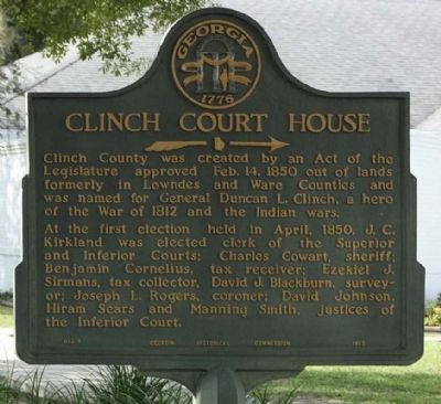
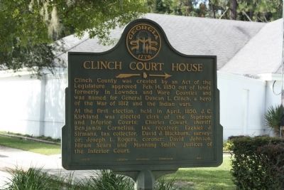
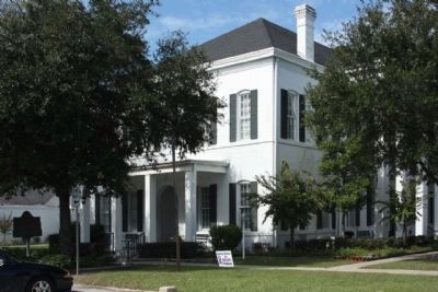
Clinch Court House
→
At the first election held in April, 1850, J.C. Kirkland was elected clerk of the Superior and Inferior Courts; Charles Cowart, sheriff; Benjamin Cornelius, tax receiver; Ezekiel J. Sirmans, tax collector, David J. Blackburn, surveyor; Joseph L. Rogers, coroner; David Johnson, Hiram Sears and Manning Smith, justices of the Inferior Court.
Erected 1953 by Georgia Historical Commission. (Marker Number 032-1.)
Topics and series. This historical marker is listed in these topic lists: Government & Politics • Political Subdivisions. In addition, it is included in the Georgia Historical Society series list. A significant historical month for this entry is April 1850.
Location. 31° 2.205′ N, 82° 44.901′ W. Marker is in Homerville, Georgia, in Clinch County. Marker is on West Dame Avenue (U.S. 84) near Smith Street, on the right when traveling south. Touch for map. Marker is in this post office area: Homerville GA 31634, United States of America. Touch for directions.
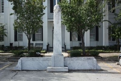
Other nearby markers. At least 8 other markers are within 15 miles of this marker, measured as the crow flies. Clinch County World War II Memorial (within shouting distance of this marker); First Court in Clinch County (approx. 7.4 miles away); Bethany Baptist Church (approx. 9.7 miles away); Providence Or Camp Creek Church (approx. 10.8 miles away); Guest Mill Pond (approx. 11.7 miles away); a different marker also named Guest Mill Pond (approx. 11.7 miles away); Salem Church (approx. 14.6 miles away); Kinnaird Trail (approx. 15 miles away). Touch for a list and map of all markers in Homerville.
Regarding Clinch Court House. County named for General Duncan L Clinch •
Apr 6, 1787 - Nov 27, 1849 •
Born in Ard-Lamont, North Carolina •
Entered in the U.S. Army In 1829 was promoted to Bridadier General in command of the U.S. Forces at the battle of Quithlacoochee in 1835 during the Second Seminole War of 1835-1842.
Credits. This page was last revised on January 25, 2021. It was originally submitted on October 30, 2009, by Mike Stroud of Bluffton, South Carolina. This page has been viewed 1,337 times since then and 44 times this year. Photos: 1. submitted on April 6, 2011, by Mike Stroud of Bluffton, South Carolina. 2, 3, 4. submitted on October 30, 2009, by Mike Stroud of Bluffton, South Carolina. • Craig Swain was the editor who published this page.


