Pulaski in Pulaski County, Virginia — The American South (Mid-Atlantic)
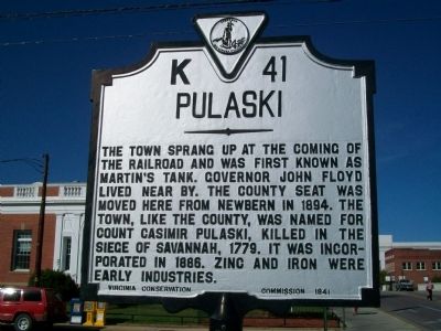
Pulaski
Erected 1941 by Virginia Conservation Commission. (Marker Number K-41.)
Topics and series. This historical marker is listed in these topic lists: Government & Politics • Industry & Commerce • Natural Resources • Political Subdivisions • War, US Revolutionary. In addition, it is included in the Virginia Department of Historic Resources (DHR) series list. A significant historical year for this entry is 1894.
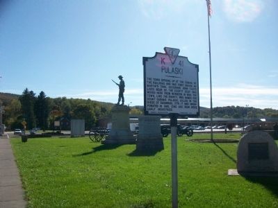
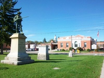
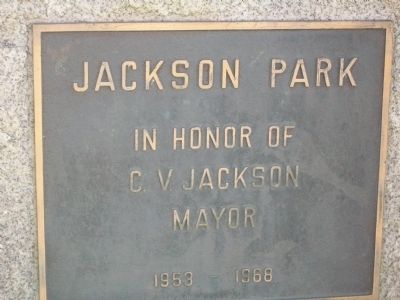
Location. 37° 2.792′ N, 80° 46.806′ W. Marker is in Pulaski, Virginia, in Pulaski County. Marker is at the intersection of North Washington Avenue (U.S. 11) and 1st Street NW, on the right when traveling south on North Washington Avenue. Located in Jackson Park. Touch for map. Marker is in this post office area: Pulaski VA 24301, United States of America. Touch for directions.
Other nearby markers. At least 8 other markers are within walking distance of this marker. World War I Memorial (a few steps from this marker); The Norfolk And Western Railway (a few steps from this marker); Confederate Soldiers Memorial (a few steps from this marker); Veterans Memorial Bridge (within shouting distance of this marker); Pulaski Railway Station (about 300 feet away, measured in a direct line); Pulaski County Courthouse (about 600 feet away); Lest We Forget (about 600 feet away); Pulaski Veterans Memorial (about 600 feet away). Touch for a list and map of all markers in Pulaski.
Credits. This page was last revised on June 16, 2016. It was originally submitted on October 31, 2009, by Kathy Walker of Stafford, Virginia. This page has been viewed 882 times since then and 19 times this year. Photos: 1, 2, 3, 4. submitted on October 31, 2009, by Kathy Walker of Stafford, Virginia. • Craig Swain was the editor who published this page.


