Near Pulaski in Pulaski County, Virginia — The American South (Mid-Atlantic)
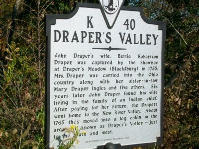
Draper's Valley
Erected 1998 by Department of Historic Resources. (Marker Number K-40.)
Topics and series. This historical marker is listed in these topic lists: Native Americans • Settlements & Settlers. In addition, it is included in the Virginia Department of Historic Resources (DHR) series list. A significant historical year for this entry is 1755.
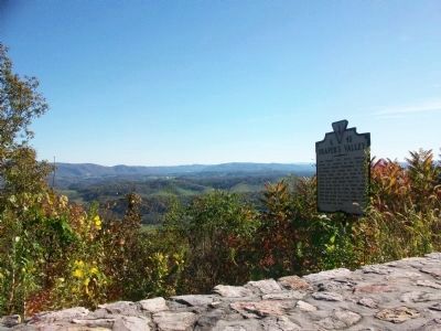
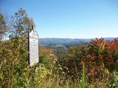
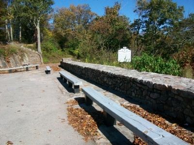
Location. 37° 1.085′ N, 80° 47.026′ W. Marker is near Pulaski, Virginia, in Pulaski County. Marker is on Lee Highway (U.S. 11) 2.2 miles north of Interstate 81, on the right when traveling north. Located at the Draper Valley Overlook. Touch for map. Marker is in this post office area: Pulaski VA 24301, United States of America. Touch for directions.
Other nearby markers. At least 8 other markers are within 2 miles of this marker, measured as the crow flies. Pulaski Railway Station (approx. 1.9 miles away); Confederate Soldiers Memorial (approx. 2 miles away); The Norfolk And Western Railway (approx. 2 miles away); World War I Memorial (approx. 2 miles away); Pulaski (approx. 2 miles away); Veterans Memorial Bridge (approx. 2 miles away); Pulaski County Courthouse (approx. 2.1 miles away); Pulaski County War Memorial (approx. 2.1 miles away). Touch for a list and map of all markers in Pulaski.
More about this marker. This marker replaced a marker with the same number and title erected before 1932 another mile further south in Wythe County. The text of that marker read, “To the south and west lies Draper Valley, named for John Draper, who settled here in 1765. He moved hence from Draper’s Meadows (Blacksburg), where his wife was captured by the Indians in the massacre of 1755. Six years later Draper ransomed her. He served as an officer in the Point Pleasant Indian expedition of 1774.”
Credits. This page was last revised on February 13, 2023. It was originally submitted on October 31, 2009, by Kathy Walker of Stafford, Virginia. This page has been viewed 2,494 times since then and 221 times this year. Last updated on February 13, 2023, by Dirk Moody of Englewood, Ohio. Photos: 1, 2, 3, 4. submitted on October 31, 2009, by Kathy Walker of Stafford, Virginia. • Bernard Fisher was the editor who published this page.


