Montpelier Station in Orange County, Virginia — The American South (Mid-Atlantic)
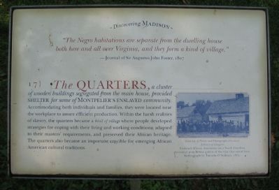
The Quarters
Discovering Madison
"The Negro habitations are separate from the dwelling house both here and all over Virginia, and they form a kind of village."
- Journal of Sir Augustus John Foster, 1807
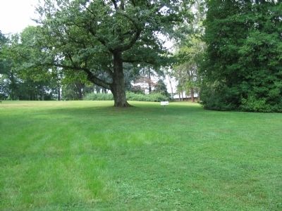
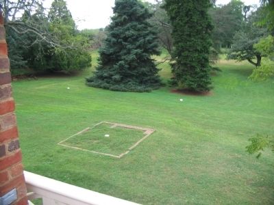
The Quarters, a cluster of wooden buildings segregated from the main house, provided shelter for some of Montpelier's enslaved community. Accommodating both individuals and families, they were located near the workplace to assure efficient production. Within the harsh realities of slavery, the quarters became a kind of village where people developed strategies for coping with their living and working conditions, adapted to their master's requirements, and preserved their African heritage. The quarters also became an important crucible for emerging African American cultural traditions.
Erected by Montpelier Foundation. (Marker Number 17.)
Topics. This historical marker is listed in these topic lists: African Americans • Agriculture • Settlements & Settlers. A significant historical year for this entry is 1807.
Location. 38° 13.102′ N, 78° 10.146′ W. Marker is in Montpelier Station, Virginia, in Orange County. Marker is on Montpelier Road, on the right when traveling south. Located on the Montpelier Estate, west of the house. Touch for map. Marker is in this post office area: Montpelier Station VA 22957, United States of America. Touch for directions.
Other nearby markers. At least 8 other markers are within walking distance of this marker. Homes for Enslaved Families (within shouting distance of this marker); The Backyard (within shouting distance of this marker); The Road (about 300 feet away, measured in a direct line); The Garden (about 400 feet away); Madison Farm Complex (about 500 feet away); The Blacksmith Shop (about 600 feet away); The African American Cemetery (approx. 0.2 miles away); Slave Cemetery (approx. 0.2 miles away). Touch for a list and map of all markers in Montpelier Station.
Credits. This page was last revised on February 3, 2020. It was originally submitted on November 3, 2009, by Craig Swain of Leesburg, Virginia. This page has been viewed 649 times since then and 12 times this year. Photos: 1, 2. submitted on November 3, 2009, by Craig Swain of Leesburg, Virginia. 3. submitted on November 1, 2009, by Craig Swain of Leesburg, Virginia.


