Montpelier Station in Orange County, Virginia — The American South (Mid-Atlantic)
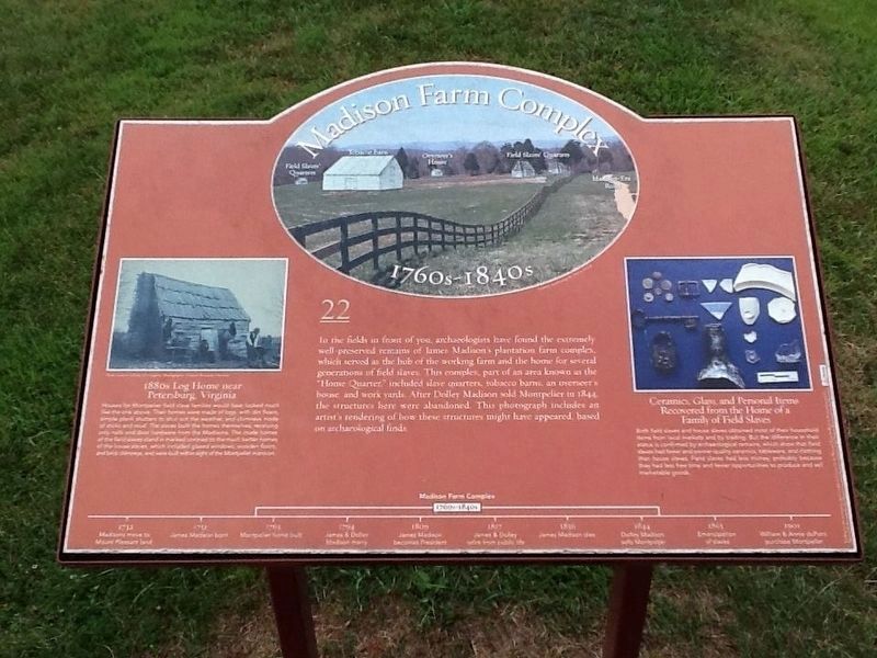
Madison Farm Complex
1760s - 1840s
1880s Log Home near Petersburg, Virginia
Houses for Montpelier field slave families would have looked much like the one above. Their homes were made of logs, with dirt floors, simple plank shutters to shut out the weather, and chimneys made of sticks and mud. The slaves built the homes themselves, receiving only nails and door hardware from the Madisons. The crude homes of the field slaves stand in marked contrast to the much better homes of the house slaves, which included glazed windows, wooden floors, and brick chimneys, and were built within sight of the Montpelier mansion.
Ceramics, Glass, and Personal Items Recovered from the Home of a Family of Field Slaves
Both field and house slaves obtained most of their household items from local markets and by trading. But the difference in their status is confirmed by archaeological remains, which show that field slaves had fewer and poorer-quality ceramics, tableware, and clothing than house slaves. Field slaves had less money, probably because they had less free time and fewer opportunities to produce and sell marketable goods. (Marker Number 22.)
Topics and series. This historical marker is listed in these topic lists: African Americans • Agriculture • Anthropology & Archaeology • Settlements & Settlers. In addition, it is included in the Former U.S. Presidents: #04 James Madison series list. A significant historical year for this entry is 1844.
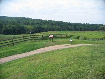
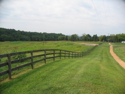
Location. 38° 13.019′ N, 78° 10.181′ W. Marker is in Montpelier Station, Virginia, in Orange County. Marker is on Coney Island Road, on the right when traveling south. Located along a service road on the Montpelier Estate, outside the visitor center. Touch for map. Marker is in this post office area: Montpelier Station VA 22957, United States of America. Touch for directions.
Other nearby markers. At least 8 other markers are within walking distance of this marker. The Quarters (about 500 feet away, measured in a direct line); The Garden (about 600 feet away); Homes for Enslaved Families (about 600 feet away); The Backyard (about 700 feet away); The Road (approx. 0.2 miles away); The Blacksmith Shop (approx. 0.2 miles away); The African American Cemetery (approx. ¼ mile away); Slave Cemetery (approx. ¼ mile away). Touch for a list and map of all markers in Montpelier Station.
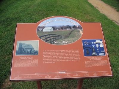
More about this marker. Illustrations on the marker include a photo of the farm area with an artist's depiction of the buildings; a photo of a slave house near Petersburg (as an example of what stood in the complex); and a photo of some artifacts found at the site.. At the bottom is a time line indicating the south yard was in use between 1760 and 1850; the span when the complex was active.
Credits. This page was last revised on January 23, 2022. It was originally submitted on November 3, 2009, by Craig Swain of Leesburg, Virginia. This page has been viewed 811 times since then and 11 times this year. Last updated on January 22, 2022, by Carl Gordon Moore Jr. of North East, Maryland. Photos: 1. submitted on November 26, 2016, by Michael C. Wilcox of Winston-Salem, North Carolina. 2, 3, 4. submitted on November 3, 2009, by Craig Swain of Leesburg, Virginia. • J. Makali Bruton was the editor who published this page.


