Near Oxford in Butler County, Ohio — The American Midwest (Great Lakes)
The Restoration Movement / Doty Settlement Cemetery
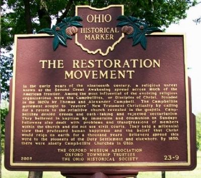
Side A: The Restoration Movement
In the early years of the nineteenth century, a religious unrest known as the Second Great Awakening spread across much of the American frontier. Among the most influential of the evolving religious organizations were the Campbellites, or Disciples of Christ, founded in the 1820s by Thomas and Alexander Campbell. The Campbellite movement sought to "restore" New Testament Christianity by calling for a return to the primitive church revealed in the gospels. Campbellites denied creeds and oath-taking and rejected sectarianism. They believed in baptism by immersion and communion on Sundays. Followers also dealt with problems and transgressions of members within the church and did not use civil courts. They held a millennial view that professed human happiness and the belief that Christ would reign on earth for a thousand years. Believers spread this word to the pioneers of the Doty Settlement and elsewhere. By 1850, there were ninety Campbellite Churches in Ohio.
Side B: Doty Settlement Cemetery
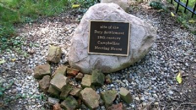
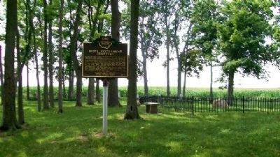
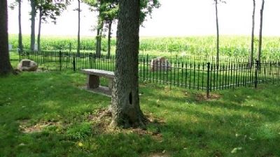
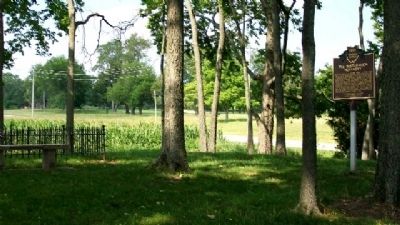
In 1844, one acre of land in the Doty Settlement was given by Job Smith to the First Congregation of Christian Disciples (Campbellites) of Oxford Township for church and burial purposes. A 24 by 36 foot frame meeting house was constructed, but the inside was never completed. Over a period spanning nearly 100 years, numerous burials occurred in the cemetery. Some graves were marked, and others were not. The Smith, Morris, and Doty families were the first in the settlement to embrace the Campbellite faith, and some family members were buried here. The Moore family came into the church after 1850, as did some Baptist, Methodist, and Presbyterian families. The Doty Settlement church was dissolved by 1905, and the cemetery was abandoned by the mid-20th century.
Erected 2005 by The Oxford Museum Association, Oxford Township Trustees, and The Ohio Historical Society. (Marker Number 23-9.)
Topics and series. This historical marker is listed in these topic lists: Agriculture • Cemeteries & Burial Sites • Churches & Religion • Settlements & Settlers. In addition, it is included in the Ohio Historical Society / The Ohio History Connection series list. A significant historical year for this entry is 1850.
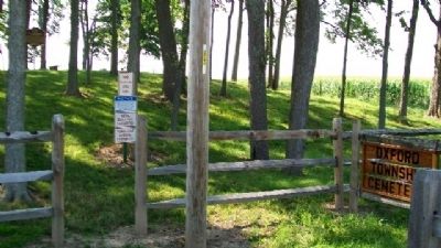
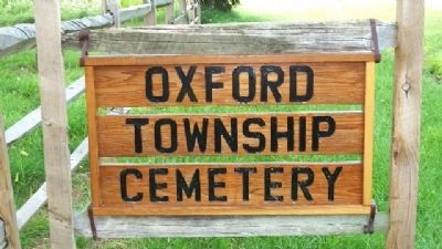
Location. 39° 33.466′ N, 84° 45.508′ W. Marker is near Oxford, Ohio, in Butler County. Marker is on Brown Road, 0.2 miles south of Doty Road, on the right when traveling south. Marker is in the Oxford Township Cemetery. Touch for map. Marker is at or near this postal address: 6829 Brown Road, Oxford OH 45056, United States of America. Touch for directions.
Other nearby markers. At least 8 other markers are within 4 miles of this marker, measured as the crow
flies. The Doty Settlement / The Pioneer Farmstead (approx. 0.2 miles away); The Black (Pugh's Mill) Covered Bridge (approx. 2.7 miles away); Oxford (approx. 3 miles away); College Corner Veterans Memorial (approx. 3.1 miles away in Indiana); a different marker also named College Corner Veterans Memorial (approx. 3.1 miles away in Indiana); Historic Hopewell / Historic Hopewell Cemetery (approx. 3.1 miles away); The Union School 1893-2004 (approx. 3.2 miles away); Wanted by the FBI / Captured by G-Men (approx. 3.3 miles away in Indiana). Touch for a list and map of all markers in Oxford.
Also see . . . History of the Restoration Movement. (Submitted on November 3, 2009, by William Fischer, Jr. of Scranton, Pennsylvania.)
Credits. This page was last revised on November 29, 2019. It was originally submitted on November 3, 2009, by William Fischer, Jr. of Scranton, Pennsylvania. This page has been viewed 1,938 times since then and 27 times this year. Photos: 1, 2, 3, 4, 5, 6, 7. submitted on November 3, 2009, by William Fischer, Jr. of Scranton, Pennsylvania.
Editor’s want-list for this marker. Close photo of Side B, Doty Settlement Cemetery. • Can you help?
