San Dimas in Los Angeles County, California — The American West (Pacific Coastal)
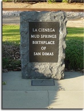
La Cienega, Mud Springs, Birthplace of San Dimas
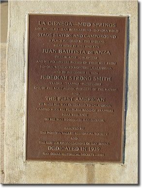
La Cienega — Mud Springs.
Los Angeles - San Bernardino - Sonora Road stage station and campground, a place favored by the Indians. Near here in 1774 and 1776 Juan Bautisa de Anza — trailblazer, colonizer — and his followers passed on their way from Sonora, Mexico to Monterey, California. And on November 12, 1826 Jedediah Strong Smith — trader, trapper, pathfinder — one of the most heroic pioneers of the nation, and the first American to make his way overland to California, camped with his fearless band of trappers near this spot on his way to Mission San Gabriel.
Erected by the Pomona Valley Historical Society and the Service Organizations of San Dimas. Dedicated in 1939.
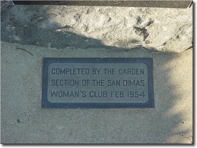
Erected 1995 by San Dimas Historical Society.
Topics and series. This historical marker is listed in these topic lists: Native Americans • Roads & Vehicles • Settlements & Settlers. In addition, it is included in the Juan Bautista de Anza National Historic Trail series list.
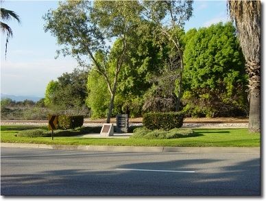
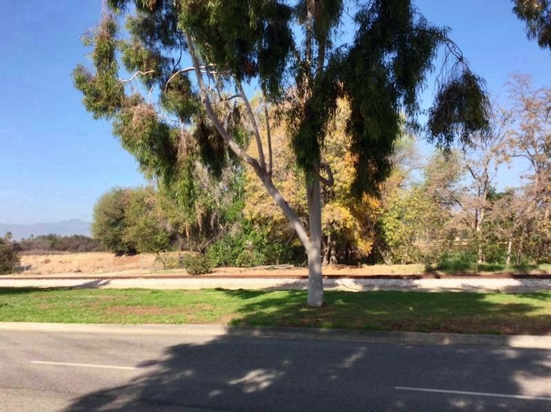
Location. Marker has been reported missing. It was located near 34° 6.192′ N, 117° 47.91′ W. Marker was in San Dimas, California, in Los Angeles County. Marker was on Arrow Highway west of San Dimas Canyon Road, on the right when traveling west. It is between the highway and the railroad tracks. Touch for map. Marker was at or near this postal address: 503 East Arrow Highway, San Dimas CA 91773, United States of America. Touch for directions.
Other nearby markers. At least 8 other markers are within walking distance of this location. The Martin House (approx. 0.4 miles away); The Old Spanish Trail (approx. 0.4 miles away); Jedediah Strong Smith (approx. 0.4 miles away); The R.M. Teague House (approx. 0.4 miles away); The Teague Nursery Showroom (approx. half a mile away); San Dimas Marmalade Factory (approx. half a mile away); San Jose Division Headquarters (approx. half a mile away); First Residence in San Dimas (approx. half a mile away). Touch for a list and map of all markers in San Dimas.
More about this marker. In 2019 the San Dimas Historical Society installed a new marker, with updated information, at nearby Rhoads Park.
Regarding La Cienega, Mud Springs, Birthplace of San Dimas. The town of San Dimas was originally called Mud Springs.
Also see . . . History of San Dimas. City website entry (Submitted on October 29, 2021, by Larry Gertner of New York, New York.)
Credits. This page was last revised on January 30, 2023. It was originally submitted on April 11, 2006, by Joseph Beeman of Upland, California. This page has been viewed 4,726 times since then and 72 times this year. Last updated on August 4, 2019, by Craig Baker of Sylmar, California. Photos: 1, 2, 3, 4. submitted on April 11, 2006, by Joseph Beeman of Upland, California. 5. submitted on December 27, 2018, by Craig Baker of Sylmar, California. • Bill Pfingsten was the editor who published this page.
