Financial District in Manhattan in New York County, New York — The American Northeast (Mid-Atlantic)
Lordís Canal
Birth of a City: Nieuw Amsterdam & Old New York
LORDSí CANAL
Location: † Broad Street
Dutch Name: † Heere Gracht
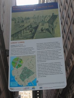
Director-General Petrus Stuyvesant had workmen create the Gracht, or Canal, here on the site of a small creek during the 1650s. The canal stretched from near todayís Exchange Place to the East River shore at Pearl Street. Townspeople built bridges crossing it at what are now Beaver Street, Stone Street, and Bridge Street. The canal provided security against fires, bringing a supply of water into the heart of the town.
Canals were a key feature of the landscape in the Netherlands, where waterways allowed passengers and cargoes to travel through busy cities. The name of this modest channel was taken from the Heere Gracht in Amsterdam, one of Europeís grandest canals, lined with the mansions of rich merchants.
Some of the townís notable institutions lined the street running along the canal. These included the elementary school, the Latin school for older students, and the deaconís house for the poor, one of New Yorkís first social services. But the canal gradually became a polluted nuisance. In 1676 it was filled in and became the street you see today.
Erected 2009 by City Lore & NY 400.
Topics. This historical marker is listed in these topic lists: Colonial Era • Waterways & Vessels. A significant historical year for this entry is 1676.
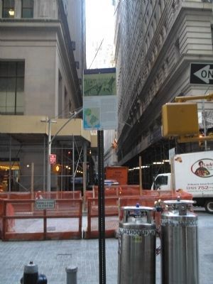
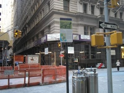
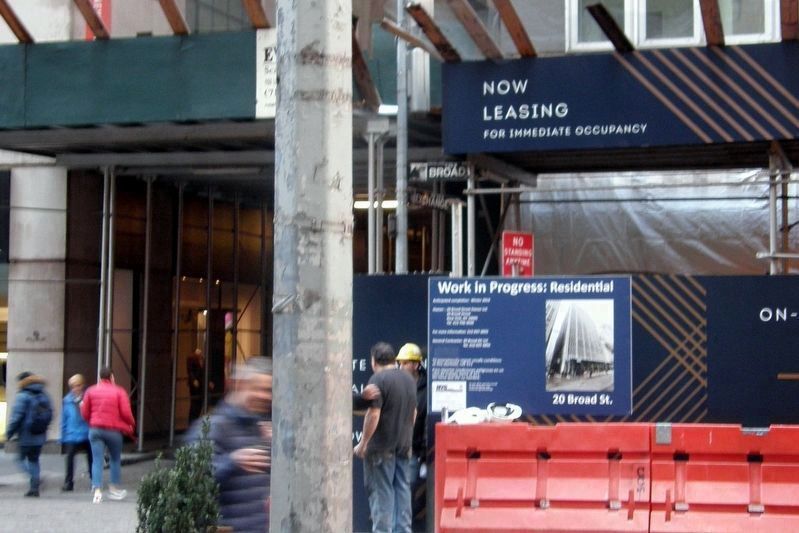
Location. Marker has been reported permanently removed. It was located near 40° 42.377′ N, 74° 0.672′ W. Marker was in Manhattan, New York, in New York County. It was in the Financial District. Marker was at the intersection of Broad Street and Exchange Place, on the left when traveling north on Broad Street. Marker is located on the northwest corner of the intersection of Broad Street and Exchange Place. Touch for map. Marker was in this post office area: New York NY 10005, United States of America.
We have been informed that this sign or monument is no longer there and will not be replaced. This page is an archival view of what was.
Other nearby markers. At least 8 other markers are within walking distance of this location. First Latin School of New Amsterdam (within shouting distance of this marker); Albert Sprague Bard (within shouting distance of this marker); "Curbstone Brokers" (within shouting distance of this marker); Fearless Girl (within shouting distance of this marker); New York Stock Exchange (within shouting distance of this marker); a different marker
also named New York Stock Exchange (within shouting distance of this marker); Broad Street History Path (within shouting distance of this marker); Let Freedom Ring (about 300 feet away, measured in a direct line). Touch for a list and map of all markers in Manhattan.
More about this marker. A picture of settlers living along the canal appears at the top of the marker. It has a caption of “The Heere Gracht and the East River shore in 1659, as visualized by a 19th-century artist. The actual canal was an inlet with wooden boards along its sides, not the elegant waterway imagined here.” The lower left of the marker contains a map showing the route of the Nieuw Amsterdam Trail in lower Manhattan.
NOTE As of December 2018, all the markers in this series had been removed.
Related markers. Click here for a list of markers that are related to this marker. Learn about New York Cityís colonial Dutch heritage by taking a virtual tour of the Nieuw Amsterdam Trail though lower Manhattan.
Also see . . . City Lore website. City Lore's mission is to foster New York's - and America's - living cultural heritage. (Submitted on November 5, 2009, by Bill Coughlin of Woodland Park, New Jersey.)
Credits. This page was last revised on January 31, 2023. It was originally submitted on November 5, 2009, by Bill Coughlin of Woodland Park, New Jersey. This page has been viewed 1,044 times since then and 25 times this year. Last updated on December 17, 2018, by Larry Gertner of New York, New York. Photos: 1, 2, 3, 4. submitted on November 5, 2009, by Bill Coughlin of Woodland Park, New Jersey. 5. submitted on December 17, 2018, by Larry Gertner of New York, New York. • Andrew Ruppenstein was the editor who published this page.
