Financial District in Manhattan in New York County, New York — The American Northeast (Mid-Atlantic)
Asser Levy’s Home
Birth of a City: Nieuw Amsterdam & Old New York
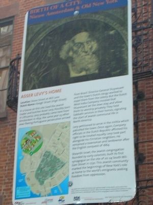
ASSER LEVY’S HOME
Location: Stone Street at Mill Lane
Dutch Name: Hoogh Straet (High Street)
In a house on this site lived the Jewish trader and butcher Asser Levy. Possibly born in Lithuania, Levy probably came here from Amsterdam in 1654, the same year 23 other Jews fleeing Portuguese persecution arrived from Brazil. Director-General Stuyvesant and the town’s Dutch clergy wanted to expel them from the colony. But the Dutch West India Company insisted that Stuyvesant let the Jews stay, and allow them to worship privately. They held Sabbath services in their homes, signaling the start of the Jewish communal life in North America.
Levy petitioned to serve in the militia which patrolled the town. Once again, Company officials in the Dutch Republic affirmed his right to be treated equally. Levy took part alongside his Christian neighbors. He remained a townsman and landowner after the English conquest of 1664.
Shearith Israel, the Jewish congregation founded by early colonists, built its first synagogue on the site of 20-24 South William Street in 1730. This Jewish community marked the beginnings of New York’s role as home to the world’s emigrants seeking freedom from oppression.
Erected 2009 by City Lore & NY 400.
Topics. This historical marker is listed in this topic list: Colonial Era. A significant historical year for this entry is 1654.
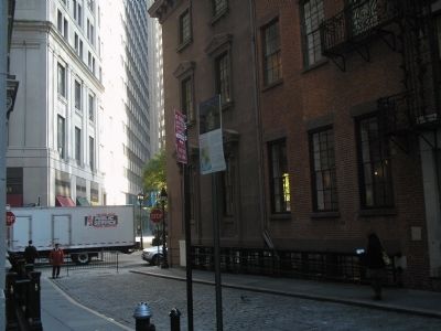
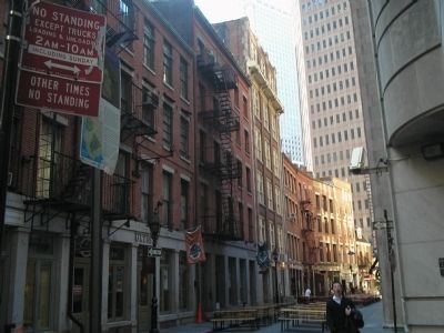
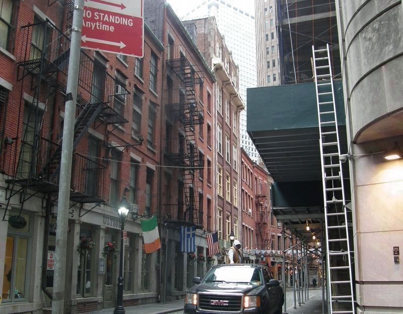
Location. Marker has been permanently removed. It was located near 40° 42.264′ N, 74° 0.618′ W. Marker was in Manhattan, New York, in New York County. It was in the Financial District. Marker was at the intersection of Stone Street and Mill Lane, on the left when traveling east on Stone Street. Touch for map. Marker was in this post office area: New York NY 10004, United States of America.
We have been informed that this sign or monument is no longer there and will not be replaced. This page is an archival view of what was.
Other nearby markers. At least 8 other markers are within walking distance of this location. 57 Stone Street (here, next to this marker); 13 South William Street (within shouting distance of this marker); Stone Street Historic District (within shouting distance of this marker); First Printing Press in the Colony of New York (within shouting distance of this marker); Dutch Hoog Straat (within shouting distance of this marker); The Queen Elizabeth II September 11th Garden (within shouting distance of this marker); Delmonico's Building (within shouting distance of this marker); The Cotton Exchange (about 300 feet away, measured in a direct line). Touch for a list and map of all markers in Manhattan.
More about this marker. A picture at the top of the marker depicts “Rabbi Isaac Aboab da Fonseca [who] was a spiritual leader to the Jewish community in the Dutch colony of Pernambuco in Brazil. When the Portuguese conquered Pernambuco in 1654, Fonseca returned to Amsterdam, while 23 of his congregants went to Nieuw Amsterdam.” The lower left of the marker contains a map showing the route of the Nieuw Amsterdam Trail in lower Manhattan.
NOTE: As of December 2018, all the markers in this series had been removed.
Related markers. Click here for a list of markers that are related to this marker. Learn about New York City’s colonial Dutch heritage by taking a virtual tour of the Nieuw Amsterdam Trail though lower Manhattan.
Also see . . . City Lore website. City Lore's mission is to foster New York's - and America's - living cultural heritage. (Submitted on November 5, 2009, by Bill Coughlin of Woodland Park, New Jersey.)
Credits. This page was last revised on January 31, 2023. It was originally submitted on November 5, 2009, by Bill Coughlin of Woodland Park, New Jersey. This page has been viewed 1,133 times since then and 44 times this year. Last updated on December 30, 2018, by Larry Gertner of New York, New York. Photos: 1, 2, 3. submitted on November 5, 2009, by Bill Coughlin of Woodland Park, New Jersey. 4. submitted on December 14, 2018, by Larry Gertner of New York, New York. • Andrew Ruppenstein was the editor who published this page.


