Montpelier Station in Orange County, Virginia — The American South (Mid-Atlantic)
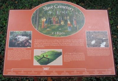
Slave Cemetery
c. 1820s
Stone Grave Marker
Some graves here were marked by the placement of field stone, but many had no markers. As a result, none of the gravesites can be associated with specific individuals. One slave, Sawney, who lived out his years at Montpelier, is likely buried here. In 1769 Sawney accompanied James Madison to college at Princeton. Back at Montpelier, he supervised a work crew that was responsible for several hundred acres of tobacco fields. In his final years he was a personal servant to Nelly Madison and was described by a family member as "the very picture of Time with his scythe."
3-D Image of Slave Cemetery
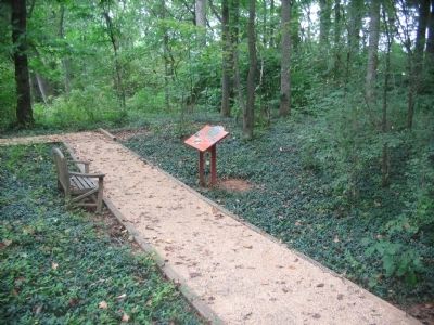
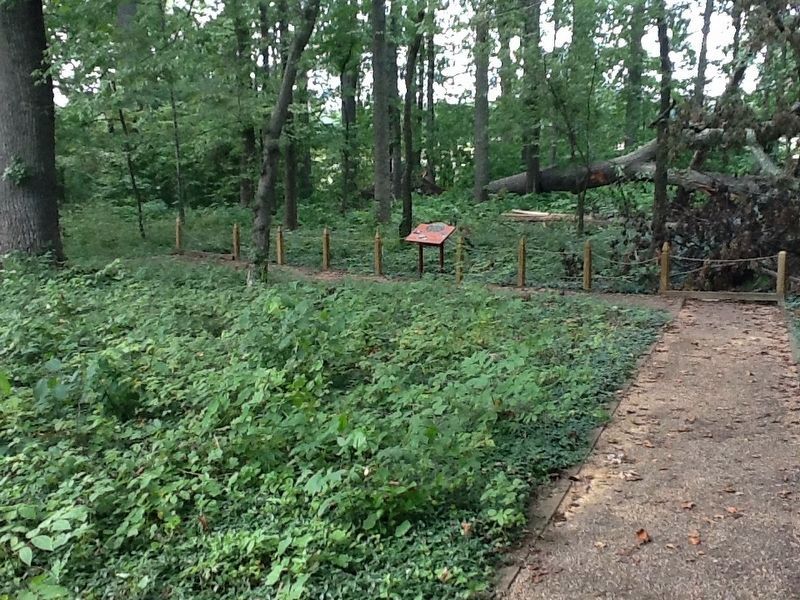
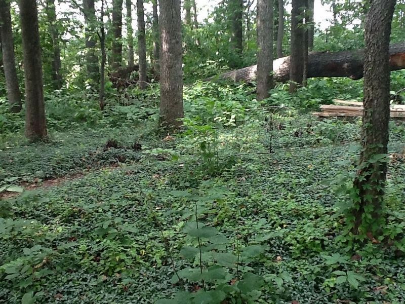
The Slave Cemetery is about one-half an acre in size with 38 visible grave depressions. Given that close to 200 slaves lived out their lives at Montpelier, the graves you are viewing represent just a small percentage of the total burials. Other unmarked cemeteries have been found at Montpelier and are likely additional slave burial grounds.
Grave Depressions Filled with Snow
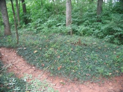
The depressions, easily seen in this winter picture, are the result of coffins deteriorating and collapsing, allowing the soil above to settle. The Slave Cemetery was maintained by the enslaved community, who would have filled in these depressions as they appeared. The visible depressions mark the last burials, ones that would have settled after slavery was abolished.
Topics and series. This historical marker is listed in these topic lists: African Americans • Cemeteries & Burial Sites. In addition, it is included in the Former U.S. Presidents: #04 James Madison series list. A significant historical year for this entry is 1769.
Location. 38° 13.17′ N, 78° 10.369′ W. Marker is in Montpelier Station, Virginia, in Orange County. Marker is on Race Barn Road, on the right when traveling north. Located in the African American Slave in the Montpelier Estate. Touch for map. Marker is in this post office area: Montpelier Station VA 22957, United States of America. Touch for directions.
Other nearby markers. At least 8 other markers are within walking distance of this marker. The African American Cemetery (a few steps from this marker); Mount Pleasant c. 1750s (about 700 feet away, measured in a direct line); The Madison Family Cemetery (approx. 0.2 miles away); The Quarters (approx. 0.2 miles away); The Road (approx. ¼ mile away); Homes for Enslaved Families (approx. ¼ mile away); The Backyard (approx. ¼ mile away); Madison Farm Complex (approx. ¼ mile away). Touch for a list and map of all markers in Montpelier Station.
Also see . . . Slave Cemetery. Page from the Montpelier web site. (Submitted on November 5, 2009, by Craig Swain of Leesburg, Virginia.)
Credits. This page was last revised on November 26, 2016. It was originally submitted on November 5, 2009, by Craig Swain of Leesburg, Virginia. This page has been viewed 1,987 times since then and 67 times this year. Photos: 1, 2. submitted on November 5, 2009, by Craig Swain of Leesburg, Virginia. 3. submitted on November 26, 2016, by Michael C. Wilcox of Winston-Salem, North Carolina. 4. submitted on November 5, 2009, by Craig Swain of Leesburg, Virginia. 5. submitted on November 26, 2016, by Michael C. Wilcox of Winston-Salem, North Carolina.
