Auburn in Fauquier County, Virginia — The American South (Mid-Atlantic)
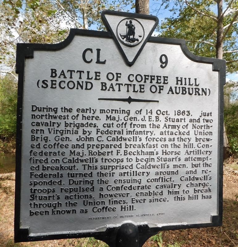
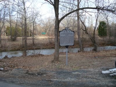
Battle of Coffee Hill
(Second Battle of Auburn)
Erected 2001 by Department of Historic Resources. (Marker Number CL-9.)
Topics and series. This historical marker is listed in this topic list: War, US Civil. In addition, it is included in the Virginia Department of Historic Resources (DHR) series list. A significant historical year for this entry is 1863.
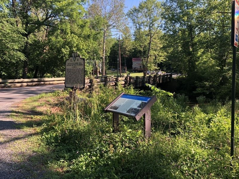
Location. 38° 42.133′ N, 77° 42.097′ W. Marker is in Auburn, Virginia, in Fauquier County. Marker is at the intersection of Rogues Road (Virginia Route 602) and Old Auburn Road (Virginia Route 670), on the right when traveling west on Rogues Road . Touch for map. Marker is in this post office area: Warrenton VA 20187, United States of America. Touch for directions.
Other nearby markers. At least 8 other markers are within 5 miles of this marker, measured as the crow flies. Second Battle of Auburn (a few steps from this marker); Neavil’s Mill (about 400 feet away, measured in a direct line); Neavil's Ordinary (approx. half a mile away); Stuart's Bivouac (approx. 1.3 miles away); St. Stephen's Episcopal Church (approx. 2.4 miles away); Grapewood Farm Engagement (approx. 2½ miles away); Vint Hill Farms Station (approx. 3.1 miles away); McClellan’s Farewell (approx. 4.3 miles away). Touch for a list and map of all markers in Auburn.
More about this marker. Rogues Road (County Route 602) is the historical trace of the Old Carolina Road through this section of the County.
Also see . . .
1. Battle Summary, Auburn VA. (Submitted on September 11, 2007, by Roger Dean Meyer of Yankton, South Dakota.)
2. Second Battle of Auburn or Coffee Hill. Short National Park Service summary. (Submitted on December 23, 2007, by Craig Swain of Leesburg, Virginia.)
Additional commentary.
1. rearguard action at Coffee Hill
The crossing of Cedar Run was defended as Caldwell's Brigade withdrew after the battle by part of the 1st Massachusetts Cavalry (that had served at Hilton Head, Charleston and Norfolk earlier in the war) and was then stationed at Aquia, Virginia. A number of the 100 reported casualties in the battle were 1st Massachusetts men captured as they protected the Union withdrawal, as rear-guards often are. They were marched to Richmond, 100 miles away, and imprisoned at Belle Island in the James River. The camp commandant was Capt. Wirtz, later to gain infamy at Andersonville, GA. Many of the Massachusetts men died there, but some, stricken with smallpox, were exchanged at City Point and evacuated to Annapolis where they died and were buried at the National Cemetery on West Street there.
— Submitted February 26, 2011, by Gordon E. White of Deltaville, Virginia.
Photographed By Craig Swain, December 22, 2007
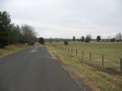
5. Caldwell's Line
Caldwell's Federal Division camped in this vicinity on the night of 13-14 October. The division's artillery was originally oriented to the north and west, but shifted to fire to the east when Beckham's Confederate artillery opened up from Stuart's Bivouac.
Photographed By Craig Swain, December 22, 2007
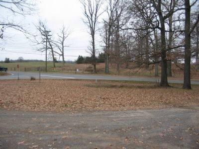
6. Rodes' Attack
Near the intersection of the Dumfries Road and the Carolina Road (modern County Routes 605 and 602 respectively), Confederate General Robert Rodes'Division attacked in a relief effort aimed to gain contact with Stuart's cavalry. Countering Rodes was the 10th New York Cavalry Regiment. General Stuart, about a mile and a half to the south, ordered his artillery to fire upon the Federals, bringing on a confusing morning of fighting.
Photographed By Craig Swain, December 22, 2007
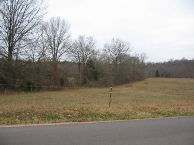
7. Gordon's Attack
When Beckham's artillery began firing upon Caldwell's position on Coffee Hill, a Federal Brigade under Brig. Gen. Alexander Hays moved to counter the Confederate guns. Advancing from the Cedar Run bridge (close to Neavil's Mill), Hays had the 125th New York Infantry Regiment in the lead. Hayes encountered Confederate Brig. Gen. John B. Gordon's brigade counterattacking from the fence line to the left. Gordon was wounded in the attack, and Col. Thomas Ruffin of the 1st North Carolina Infantry was captured. Yet, the counterattack was effective and allowed Stuart to withdraw the artillery, cavalry and Gordon's infantry to the South.
Credits. This page was last revised on June 7, 2021. It was originally submitted on September 11, 2007, by Roger Dean Meyer of Yankton, South Dakota. This page has been viewed 5,599 times since then and 106 times this year. Photos: 1. submitted on June 6, 2021, by Bradley Owen of Morgantown, West Virginia. 2. submitted on September 11, 2007, by Roger Dean Meyer of Yankton, South Dakota. 3. submitted on June 13, 2020, by Devry Becker Jones of Washington, District of Columbia. 4. submitted on September 11, 2007, by Roger Dean Meyer of Yankton, South Dakota. 5, 6, 7. submitted on December 23, 2007, by Craig Swain of Leesburg, Virginia. • J. J. Prats was the editor who published this page.
