Near Montrose in Tucker County, West Virginia — The American South (Appalachia)
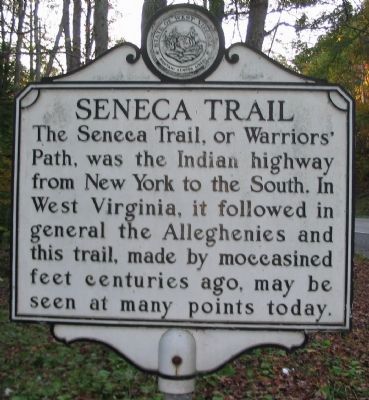
Seneca Trail
Topics and series. This historical marker is listed in these topic lists: Native Americans • Roads & Vehicles. In addition, it is included in the West Virginia Archives and History series list.
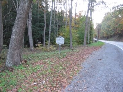
Location. 39° 5.709′ N, 79° 46.061′ W. Marker is near Montrose, West Virginia, in Tucker County. Marker is on U.S. 219, on the right when traveling east. Touch for map. Marker is in this post office area: Montrose WV 26283, United States of America. Touch for directions.
Other nearby markers. At least 8 other markers are within 5 miles of this marker, measured as the crow flies. Randolph County / Tucker County (approx. 1.1 miles away); Corrick's Ford (approx. 4˝ miles away); This Stone Commemorates the Battle of Corricks Ford (approx. 4˝ miles away); Corricks Ford Battlefield (approx. 4˝ miles away); a different marker also named Corricks Ford Battlefield (approx. 4˝ miles away); a different marker also named Corricks Ford (approx. 4˝ miles away); The Corrick House (approx. 4.6 miles away); Clash at Corricks Ford (approx. 4.6 miles away).
Credits. This page was last revised on June 16, 2016. It was originally submitted on November 11, 2009, by Craig Swain of Leesburg, Virginia. This page has been viewed 1,218 times since then and 20 times this year. Photos: 1, 2, 3. submitted on November 11, 2009, by Craig Swain of Leesburg, Virginia.


