Montrose in Randolph County, West Virginia — The American South (Appalachia)
Randolph County / Tucker County
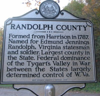
Randolph County. Formed from Harrison in 1787. Named for Edmund Jennings Randolph, Virginia statesman and soldier. Largest county in the State. Federal dominance of the Tygart's Valley in War between the states largely determined control of W.Va.
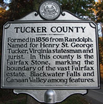
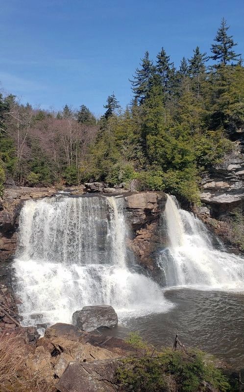
Tucker County. Formed in 1856 from Randolph. Named for Henry St. George Tucker, Virginia statesman and jurist. In this county is the Fairfax Stone, marking the boundry of the vast Fairfax estate. Blackwater Falls and Canaan Valley among features.
Erected 2009 by West Virginia Archives & History.
Topics and series. This historical marker is listed in these topic lists: Natural Features • Political Subdivisions • Settlements & Settlers • War, US Civil. In addition, it is included in the West Virginia Archives and History series list. A significant historical year for this entry is 1787.
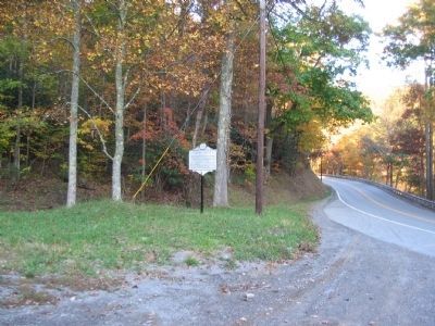
Location. 39° 5.427′ N, 79° 47.206′ W. Marker is in Montrose, West Virginia, in Randolph County. Marker is on U.S. 219, on the right when traveling west. Touch for map. Marker is in this post office area: Montrose WV 26283, United States of America. Touch for directions.
Other nearby markers. At least 8 other markers are within 6 miles of this marker, measured as the crow flies. Seneca Trail (approx. 1.1 miles away); Corrick's Ford (approx. 5˝ miles away); This Stone Commemorates the Battle of Corricks Ford (approx. 5˝ miles away); Corricks Ford Battlefield (approx. 5˝ miles away); a different marker also named Corricks Ford Battlefield (approx. 5˝ miles away); a different marker also named Corricks Ford (approx. 5˝ miles away); The Corrick House (approx. 5.6 miles away); Clash at Corricks Ford (approx. 5.6 miles away).
Credits. This page was last revised on August 1, 2021. It was originally submitted on November 12, 2009, by Craig Swain of Leesburg, Virginia. This page has been viewed 869 times since then and 30 times this year. Photos: 1, 2, 3. submitted on November 12, 2009, by Craig Swain of Leesburg, Virginia. 4. submitted on March 27, 2021, by Bradley Owen of Morgantown, West Virginia.


