North Castle in Westchester County, New York — The American Northeast (Mid-Atlantic)
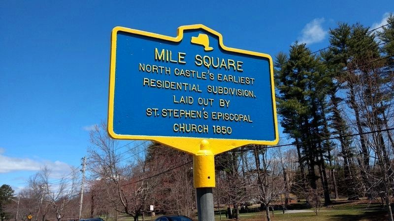
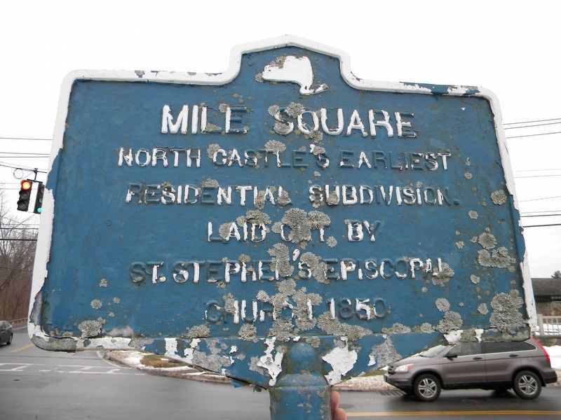
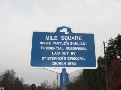
Mile Square
Residential Subdivision.
Laid out by
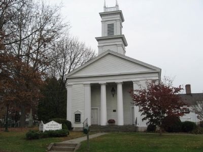
St. Stephen’s Episcopal
Church 1850
Topics. This historical marker is listed in these topic lists: Churches & Religion • Settlements & Settlers. A significant historical year for this entry is 1850.
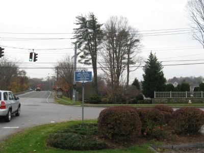
Location. 41° 7.487′ N, 73° 42.666′ W. Marker is in North Castle, New York, in Westchester County. Marker is at the intersection of Bedford Road and Maple Avenue, on the right when traveling west on Bedford Road. Located in front of St. Stephen’s Episcopal Church. Touch for map. Marker is in this post office area: Armonk NY 10504, United States of America. Touch for directions.
Other nearby markers. At least 8 other markers are within 4 miles of this marker, measured as the crow flies. North Castle Veterans Memorial (about 400 feet away, measured in a direct line); This Flame of Freedom (about 400 feet away); North Castle World War I Memorial (approx. 0.2 miles away); Smith’s Tavern (approx. 0.9 miles away); Lockheed T-33 (approx. 3.1 miles away); Reuben Wright’s Mill (approx. 3.2 miles away); Reuben Wright’s Mills (approx. 3.2 miles away); Middle Patent Rural Cemetery (approx. 3.4 miles away). Touch for a list and map of all markers in North Castle.
Credits. This page was last revised on June 15, 2018. It was originally submitted on November 13, 2009, by Michael Herrick of Southbury, Connecticut. This page has been viewed 809 times since then and 20 times this year. Photos: 1, 2. submitted on May 23, 2018, by Robert Higle of Sleepy Hollow, New York. 3, 4, 5. submitted on November 13, 2009, by Michael Herrick of Southbury, Connecticut. • Bill Pfingsten was the editor who published this page.
