Colonie in Albany County, New York — The American Northeast (Mid-Atlantic)
Loudoun Ferry Road
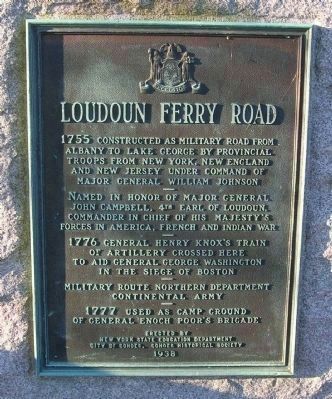
Inscription.
Albany to Lake George by Provincial
Troops from New York, New England
and New Jersey under command of
Major General William Johnson
———
Named in honor of Major General
John Campbell, 4th Earl of Loudoun.
Commander in Chief of His Majesty's
Forces in America, French and Indian War
———
1776 General Henry Knox's Train
of Artillery crossed here
to aid General George Washington
in the Siege of Boston
———
Military Route Northern Department
Continental Army
———
1777 Used as camp ground
of General Enoch Poor's Brigade
Erected 1938 by New York State Education Department, City of Cohoes, & Cohoes Historical Society.
Topics. This historical marker is listed in these topic lists: Colonial Era • Roads & Vehicles • War, French and Indian • War, US Revolutionary. A significant historical year for this entry is 1755.
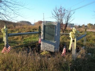
Location. 42° 48.992′ N, 73° 43.815′ W. Marker is in Colonie, New York, in Albany County. Marker is at the intersection of Crescent Road (County Route 159) and New Loudon Road (New York State Route 9), on the right when traveling east on Crescent Road. Touch for map. Marker is in this post office area: Cohoes NY 12047, United States of America. Touch for directions.
Other nearby markers. At least 8 other markers are within walking distance of this marker. Fonda Cemetery (approx. 0.3 miles away); Crescent Aqueduct (approx. half a mile away); Crescent (approx. half a mile away); Crescent / Mohawk Towpath Byway / Halfmoon (approx. half a mile away); a different marker also named Crescent (approx. half a mile away); Church Hill Historic District (approx. 0.6 miles away); Oakcliff (approx. 0.6 miles away); New York Power Authority (approx. 0.9 miles away).

Photographed By Howard C. Ohlhous, November 7, 2009
3. Loudoun Ferry Road Marker
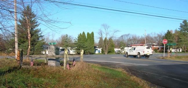
The marker is to the left foreground inside the rail fence in this view, which is to the west. The white truck at the stop sign is on the Cohoes - Crescent Road, waiting to turn onto "Loudon" road, also known as New Loudon Road, a.k.a. Route 9.
Credits. This page was last revised on November 25, 2019. It was originally submitted on November 14, 2009, by Howard C. Ohlhous of Duanesburg, New York. This page has been viewed 1,420 times since then and 18 times this year. Photos: 1, 2, 3. submitted on November 14, 2009, by Howard C. Ohlhous of Duanesburg, New York. • Kevin W. was the editor who published this page.

