Pleasanton in Alameda County, California — The American West (Pacific Coastal)
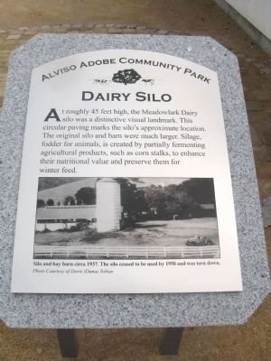
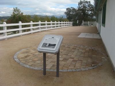
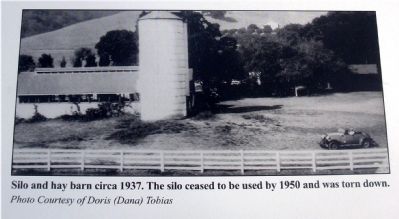
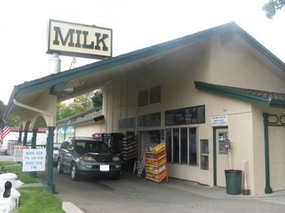
Meadowlark Dairy - The Dairy Silo
Alviso Adobe Community Park
Erected 2008 by Alviso Adobe Community Park.
Topics. This historical marker is listed in these topic lists: Agriculture • Animals.
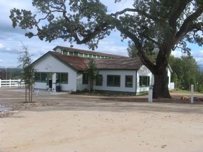
Location. 37° 39.657′ N, 121° 54.755′ W. Marker is in Pleasanton, California, in Alameda County. Marker can be reached from Old Foothill Road near Foothill Road. Marker is located next to the milk barn interpretive building at Alviso Adobe Community Park. Touch for map. Marker is at or near this postal address: 3465 Old Foothill Road, Pleasanton CA 94588, United States of America. Touch for directions.
Other nearby markers. At least 8 other markers are within 2 miles of this marker, measured as the crow flies. Meadowlark Dairy (a few steps from this marker); Changing Landscape (a few steps from this marker); Meadowlark Dairy – Dairy Manager’s House (within shouting distance of this marker); Meadowlark Dairy – Dairy Bunkhouse (within shouting distance of this marker); Alviso Adobe (within shouting distance of this marker); Meadowlark Dairy - Historic Orchard (about 300 feet away, measured in a direct line); Alviso Adobe Community Park (about 400 feet away); The Heritage House (approx. 1˝ miles away). Touch for a list and map of all markers in Pleasanton.
Also see . . .
1. Got Milk…And More. A Pleasanton Weekly article by Kathy Cordova giving historical information on the Meadowlark Dairy as well as the dairy today. (Submitted on November 18, 2009, by Syd Whittle of Mesa, Arizona.)
2. Alviso Adobe Community Park.
"The 2000 Master Plan for the Alviso Adobe Community Park included a 39-foot replica of the white grain silo on the east side of the re-created Meadowlark Dairy. Objections from the local residents caused the planners and the city to revise the master plan and eliminate the silo from the park."(Submitted on April 23, 2022, by Joseph Alvarado of Livermore, California.)
Credits. This page was last revised on April 29, 2022. It was originally submitted on November 18, 2009, by Syd Whittle of Mesa, Arizona. This page has been viewed 2,168 times since then and 26 times this year. Last updated on April 23, 2022, by Joseph Alvarado of Livermore, California. Photos: 1, 2, 3, 4, 5, 6. submitted on November 18, 2009, by Syd Whittle of Mesa, Arizona. • J. Makali Bruton was the editor who published this page.
