Fells Point in Baltimore, Maryland — The American Northeast (Mid-Atlantic)
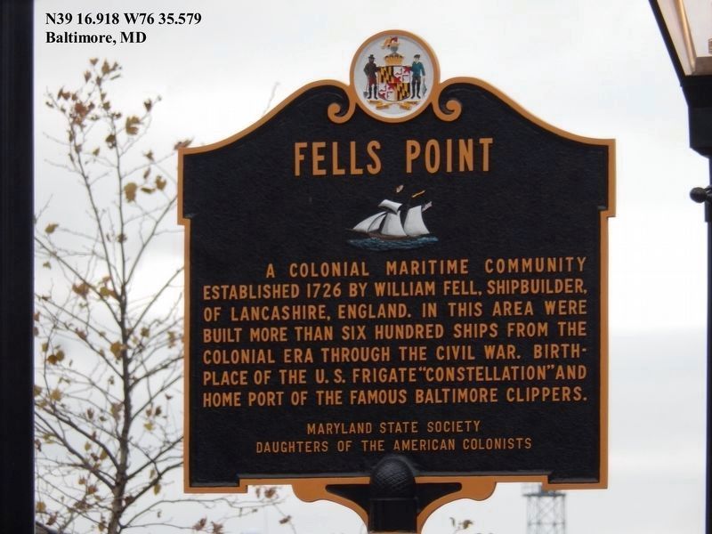
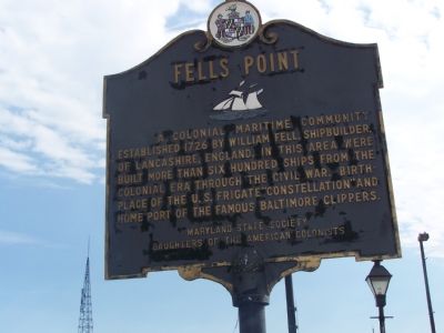
Fells Point
Erected by Maryland State Society Daughters of the American Colonists.
Topics and series. This historical marker is listed in these topic lists: Civil Rights • War, US Civil • Waterways & Vessels. In addition, it is included in the Daughters of the American Colonists series list. A significant historical year for this entry is 1726.
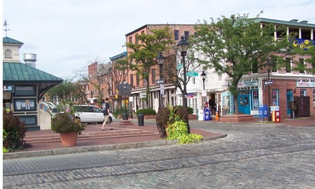
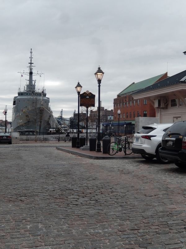
Location. 39° 16.918′ N, 76° 35.579′ W. Marker is in Baltimore, Maryland. It is in Fells Point. Marker is at the intersection of Thames Street and Broadway, on the left when traveling east on Thames Street. Touch for map. Marker is in this post office area: Baltimore MD 21231, United States of America. Touch for directions.
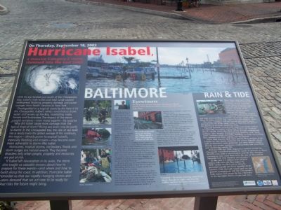
Other nearby markers. At least 10 other markers are within walking distance of this marker. The Chesapeake Campaign & The War of 1812 (a few steps from this marker); On Thursday, September 18, 2003 (within shouting distance of this marker); a different marker also named Fells Point (within shouting distance of this marker); Waterfront Hotel Restaurant (within shouting distance of this marker); 1630 Shakespeare Street (within shouting distance of this marker); 1632 Shakespeare Street (within shouting distance of this marker); 1628 Shakespeare Street (about 300 feet away, measured in a direct line); 1627 Shakespeare Street (about 300 feet away); 1625 Shakespeare Street (about 300 feet away); War in the Chesapeake (about 300 feet away). Touch for a list and map of all markers in Baltimore.
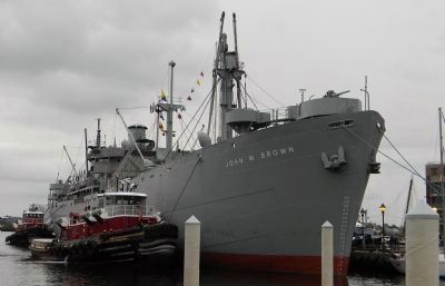
Photographed By Richard E. Miller, October 7, 2012
9. WWII Liberty Ship: S.S. John W. Brown at the Broadway Pier in Fells Point
- constructed in Baltimore (1942) and homeported as a seagoing museum ship at the Clinton Street Pier (north of Fells Point) since her restoration in 1980. She is one of just two surviving "Liberties": the other being the S.S. Jeremiah Johnson, homeported in San Francisco, California
Credits. This page was last revised on July 31, 2022. It was originally submitted on September 10, 2007, by Bill Pfingsten of Bel Air, Maryland. This page has been viewed 2,978 times since then and 22 times this year. Last updated on September 15, 2007, by Bill Pfingsten of Bel Air, Maryland. Photos: 1. submitted on November 24, 2019, by Don Morfe of Baltimore, Maryland. 2, 3. submitted on September 10, 2007, by Bill Pfingsten of Bel Air, Maryland. 4. submitted on November 24, 2019, by Don Morfe of Baltimore, Maryland. 5. submitted on September 10, 2007, by Bill Pfingsten of Bel Air, Maryland. 6, 7. submitted on April 26, 2010, by Ronald Claiborne of College Station, Texas. 8. submitted on September 10, 2007, by Bill Pfingsten of Bel Air, Maryland. 9. submitted on October 10, 2012, by Richard E. Miller of Oxon Hill, Maryland. • J. J. Prats was the editor who published this page.
