Near Liberty Hill in Williamson County, Texas — The American South (West South Central)
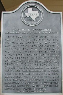
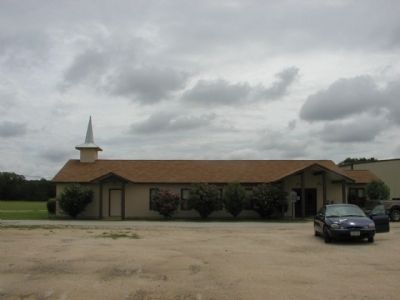
Union Hall Independent Missionary Baptist Church of Christ
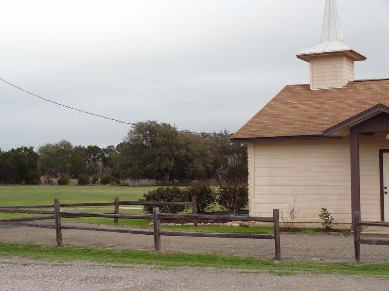
Five families withdrew from the Liberty Hill Baptist Church to form an independent missionary Baptist church of Christ in 1888. The Rev. G.W. Capps was called as the first pastor. A one room schoolhouse was soon erected on donated land. Housing worship services of all denominations, the school was called the Union Hall. The community and this church both took the Union Hall name. A new sanctuary was built in 1924, and the church supported many missionary activities over the years. Baptisms were held in the South San Gabriel River.
Erected 1986 by Texas Historical Commission. (Marker Number 15115.)
Topics. This historical marker is listed in this topic list: Churches & Religion. A significant historical year for this entry is 1888.
Location. 30° 38.722′ N, 97° 51.839′ W. Marker is near Liberty Hill, Texas, in Williamson County. Touch for map. Marker is at or near this postal address: 301 County Road 259, Liberty Hill TX 78642, United States of America. Touch for directions.
Other nearby markers. At least 8 other markers are within 5 miles of this marker, measured as the crow flies. Manuel Flores (approx. 0.4 miles away); John G. Matthews House (approx. one mile away); Liberty Hill Methodist Church (approx. 3˝ miles away); Liberty Hill Masonic Hall (approx. 3.7 miles away); Stubblefield Building (approx. 3.7 miles away); Rock House Community (approx. 4.1 miles away); Pickle-Mason House (approx. 4˝ miles away); Leander Presbyterian Church (approx. 4.7 miles away). Touch for a list and map of all markers in Liberty Hill.
Also see . . .
1. Union Hall, TX. Texas State Historical Association - Handbook of Texas (Submitted on March 2, 2017, by Keith Peterson of Cedar Park, Texas.)
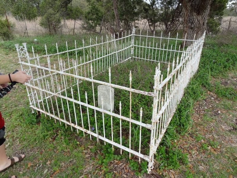
2. William Johnson Cemetery. Find A Grave (Submitted on March 2, 2017, by Keith Peterson of Cedar Park, Texas.)
Credits. This page was last revised on November 29, 2020. It was originally submitted on December 7, 2009, by Keith Peterson of Cedar Park, Texas. This page has been viewed 898 times since then and 18 times this year. Photos: 1, 2. submitted on December 7, 2009, by Keith Peterson of Cedar Park, Texas. 3, 4. submitted on March 2, 2017, by Keith Peterson of Cedar Park, Texas. • Bill Pfingsten was the editor who published this page.


