Intramuros in Manila, Metro Manila, Philippines — Southeast Asia
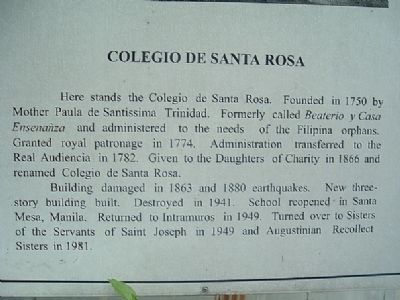
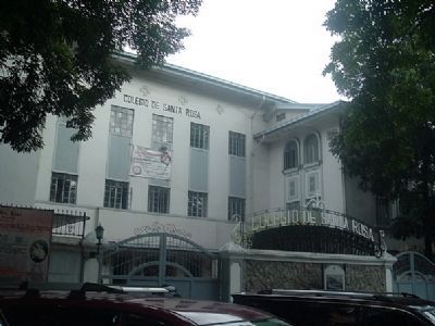
Colegio de Santa Rosa
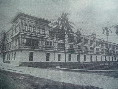
Building damaged in 1863 and 1880 earthquakes. New three-story building built. Destroyed in 1941. School reopened in Santa Mesa, Manila. Returned to Intramuros in 1941. Turned over to Sisters of the Servants of Saint Joseph in 1949 and Augustinian Recollect Sisters in 1981.
Erected by Intramuros Administration.
Topics. This historical marker is listed in this topic list: Education. A significant historical year for this entry is 1750.
Location. 14° 35.565′ N, 120° 58.469′ E. Marker is in Manila, Metro Manila. It is in Intramuros. Marker is on Santo Tomas Street, on the left when traveling west. Touch for map. Marker is in this post office area: Manila, Metro Manila 1002, Philippines. Touch for directions.
Other nearby markers. At least 8 other markers are within walking distance of this marker. Plaza Santo Tomas (a few steps from this marker); University of Santo Tomas (within shouting distance of this marker); Plaza de España (about 90 meters away, measured in a direct line); Santo Domingo Church and Convent (about 90 meters away); Padre Jose A. Burgos (about 90 meters away); Ayuntamiento (about 120 meters away); Cruceiro (about 150 meters away); Plaza de Roma (about 150 meters away). Touch for a list and map of all markers in Manila.
Credits. This page was last revised on February 12, 2022. It was originally submitted on December 8, 2009, by I.G.V.Atajar of San Jose, California. This page has been viewed 2,985 times since then and 75 times this year. Photos: 1, 2, 3. submitted on December 8, 2009, by I.G.V.Atajar of San Jose, California. • Kevin W. was the editor who published this page.


