Bakersfield in Kern County, California — The American West (Pacific Coastal)
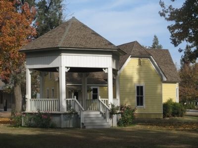
Bandstand
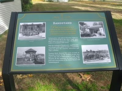
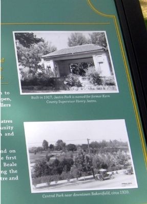
Public parks sprang up as a response to the increasingly polluted urban environments created by the industrial revolution in the 1800s.
Urbanization and industrialization began to change American life by the 1840s. Large, open, green areas were planned to offer city dwellers a place to reconnect with nature.
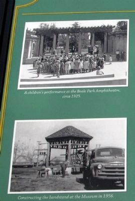
With the inclusion of bandstands, amphitheatres, and playgrounds, parks became a community gathering place for concerts, recreation, and other activities.
Truxtun Beale donated five acres of land on Oleander Avenue for the building of the first park in the City of Bakersfield in 1908. Beale donated all the materials for landscaping the park and construction of the Greek Theatre and swimming pool at the park.
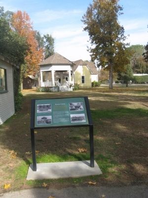
This structure is a recreated bandstand using wood recycled from what was possibly an old storage building.
Erected by Kern County Museum.
Topics. This historical marker is listed in this topic list: Notable Buildings. A significant historical year for this entry is 1908.
Location. 35° 23.567′ N, 119° 1.263′ W. Marker is in Bakersfield, California, in Kern County. Marker can be reached from Chester Avenue. Marker is located at the Bandstand Green section of Pioneer Village at the Kern County Museum. Touch for map. Marker is at or near this postal address: 3801 Chester Avenue, Bakersfield CA 93301, United States of America. Touch for directions.
Other nearby markers. At least 8 other markers are within walking distance of this marker. Doctor's Office (a few steps from this marker); Dentist's Office (a few steps from this marker); Fraternal Hall (a few steps from this marker); Miller and Lux Survey Office (a few steps from this marker); Drug Store (within shouting distance of this marker); Kern Valley Bank (within shouting distance of this marker); Wells, Fargo & Company Express Office (within shouting distance of this marker); Joss House (within shouting distance of this marker). Touch for a list and map of all markers in Bakersfield.
Credits. This page was last revised on August 1, 2018. It was originally submitted on December 13, 2009, by Syd Whittle of Mesa, Arizona. This page has been viewed 890 times since then and 23 times this year. Photos: 1, 2, 3, 4, 5. submitted on December 13, 2009, by Syd Whittle of Mesa, Arizona.
