Gray in Jones County, Georgia — The American South (South Atlantic)
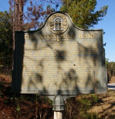
The Stoneman Raid
On the 30th, at Clinton (7 miles S), he detached parties of the 14th Illinois Cavalry which wrecked railway facilities at Gordon, McIntyre and Toomsboro (SE of Clinton) and at Griswoldville (SSE). They burned trains, loaded cars on sidings, machinery, supplies, trestles and the railway bridge over the Oconee River east of Toomsboro. Stoneman advanced to Macon (19 miles SW) where he was stopped by Georgia Militia, strongly intrenched. Unable to force their works, he shelled Macon briefly, then attempted to retreat.
Next morning, Sunday the 31st, after a night of harassment, he was brought to bay at this point by Brig. Gen. Alfred Iverson, Jr., who, with only 1300 cavalry [CS] had marched to intercept him.
Deceived by Iverson into believing that he was being surrounded, his men exhausted and ammunition running low, Stoneman covered the escape northward of Adams’ and Capron’s brigades; then he surrendered himself, with about 600 men and his artillery and train, to what Iverson had led him to believe was a much larger force.
Erected 1957 by Georgia Historical Commission. (Marker Number 084-15.)
Topics and series. This historical marker is listed in this topic list: War, US Civil. In addition, it is included in the Georgia Historical Society series list. A significant historical month for this entry is July 1864.
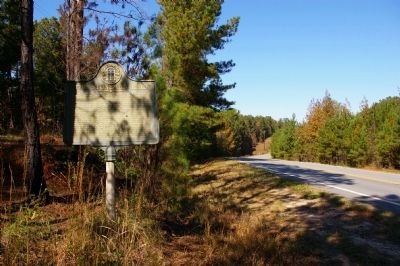
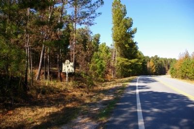
Location. 33° 5.339′ N, 83° 36.912′ W. Marker is in Gray, Georgia, in Jones County. Marker is on Monticello Highway (Georgia Route 11) one mile north of Otis Redding Drive, on the right when traveling south. The marker is in the south edge of the community of Round Oak. Touch for map. Marker is at or near this postal address: 1825 Monticello Highway, Gray GA 31032, United States of America. Touch for directions.
Other nearby markers. At least 8 other markers are within 7 miles of this marker, measured as the crow flies. Sunshine Church II (approx. 1.3 miles away); Sunshine Church (approx. 1.4 miles away); Planter’s Academy (approx. 1.9 miles away); Hillsboro (approx. 6.2 miles away); Across the Ocmulgee (approx. 6.2 miles away); Birthplace of Benjamin Harvey Hill (approx. 6.2 miles away); Benjamin Harvey Hill
(approx. 6.4 miles away); Clinton Methodist Church (approx. 7 miles away). Touch for a list and map of all markers in Gray.
Credits. This page was last revised on June 16, 2016. It was originally submitted on December 19, 2009, by David Seibert of Sandy Springs, Georgia. This page has been viewed 1,501 times since then and 21 times this year. Photos: 1, 2, 3. submitted on December 19, 2009, by David Seibert of Sandy Springs, Georgia. • Craig Swain was the editor who published this page.


