Angels Camp in Calaveras County, California — The American West (Pacific Coastal)
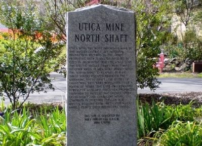
Utica Mine North Shaft
This site is dedicated by Ruby Parlor #46, N.D.G.W.
May 1, 1998
Erected 1998 by Ruby Parlor #46, Native Daughters of the Golden West.
Topics and series. This historical marker is listed in these topic lists: Industry & Commerce • Natural Resources. In addition, it is included in the Native Sons/Daughters of the Golden West series list. A significant historical month for this entry is May 1864.
Location. 38° 4.323′ N, 120° 32.585′ W. Marker is in Angels Camp, California, in Calaveras County. Marker is on Utica Lane north of Sam's Way, on the right when traveling north. Touch for map. Marker is in this post office area: Angels Camp CA 95222, United States of America. Touch for directions.
Other nearby markers. At least 8 other markers are within walking distance of this marker. Mark Twain (within shouting distance of this marker); Utica Mansion (within shouting distance of this marker); Our Vietnam Era Veterans (about 300 feet away, measured in a direct line); Lightner Mine (about 400 feet away); Claussen’s Corner (approx. ¼ mile away); Veterans Memorial Hall (approx. ¼ mile away); A. Brosemer Building (approx. ¼ mile away); Stalactite/Stalagmite (approx. ¼ mile away). Touch for a list and map of all markers in Angels Camp.
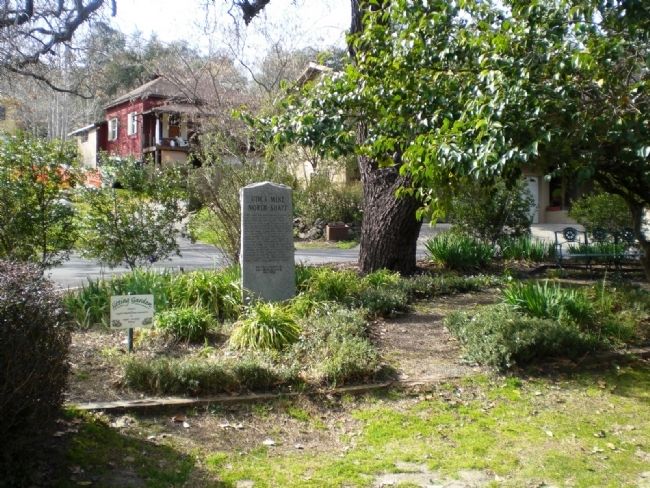
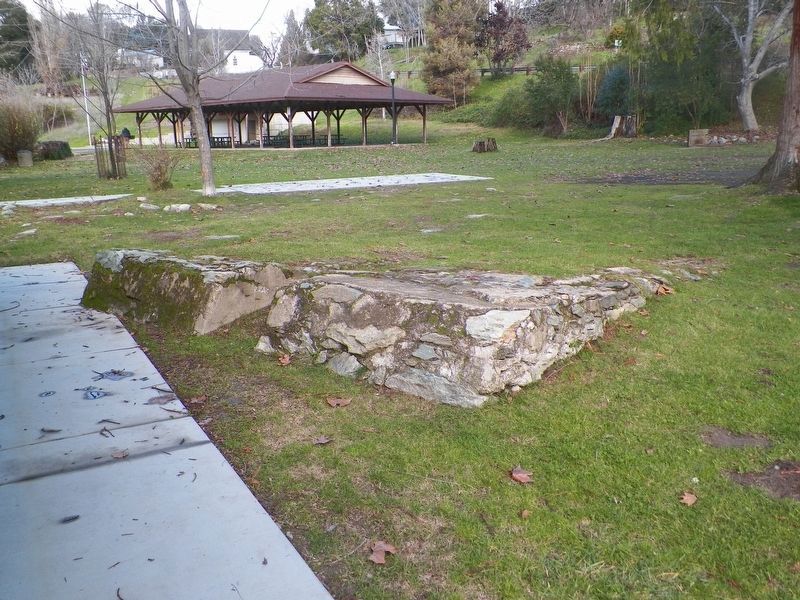
More about this marker. The marker is located in the Sitting Garden of Utica Park, between the south parking lot and restrooms.

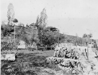
Unknown, Provided Courtesy of Historical American Building Survey
2. Utica Mine - General View, from Historic American Buildings Survey
According to the Historic American Building Survey notes for the Utica Mine, "Utica Mine consolidation of six other claims reached total production in gold of $17,000,000, when it closed down in 1915. Most famous mine between Carson Hill and Jackson. James G. Fair owned Utica Mine in the 1860's, when it was called "Invincible". Fair sold to James T. Boyd and Judge Delos Lake in 1865. Lake renamed it "Utica" after his hometown in New York. The "Utica" did not produce well and was closed down for 20 years. Reopened in 1890's, its greatest period of production was from 1893-1895, when it was owned by Hobart Estate and operated by Charley Lane as Superintendent."
Credits. This page was last revised on September 10, 2020. It was originally submitted on December 19, 2009, by Andrew Ruppenstein of Lamorinda, California. This page has been viewed 3,067 times since then and 109 times this year. Photos: 1, 2, 3. submitted on December 19, 2009, by Andrew Ruppenstein of Lamorinda, California. 4. submitted on February 26, 2017, by James King of San Miguel, California. • Syd Whittle was the editor who published this page.


