Downtown Austin in Travis County, Texas — The American South (West South Central)
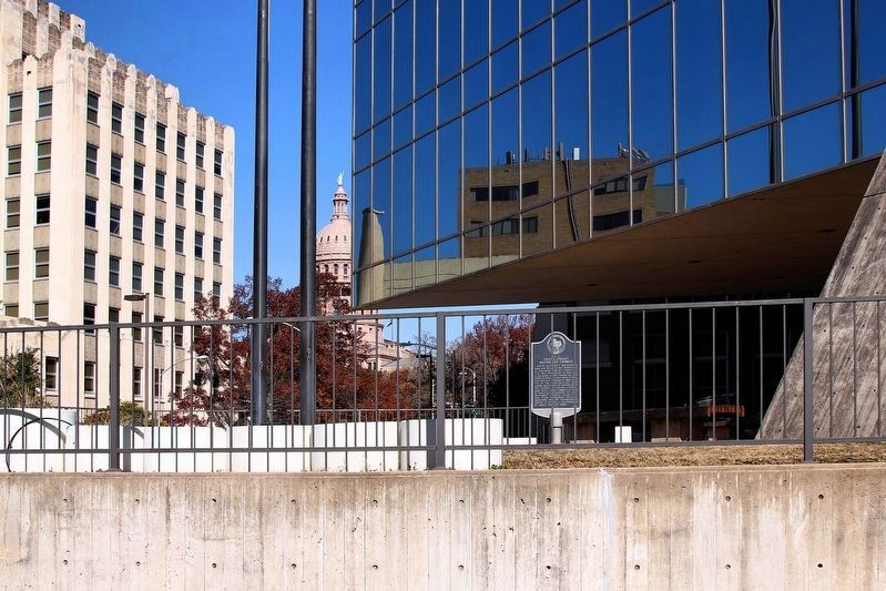
Site of Tenth Street Methodist Church
Austin Methodists organized in 1840 and began in 1847 worshiping at Congress and 4th Street. This site was purchased in 1853 and a building begun under the Rev. John W. Phillips (1821-1891). In 1883, the Rev. A.E. Goodwyn (1818-1902) led in the construction of a larger sanctuary. The congregation was known as “Central Church” and “Tenth Street Church”. In 1909 it officially changed to “First Methodist Church”. Legislators and other government officials worshiped here. The congregation moved in 1923 to a new building at Lavaca and 12th Street.
Erected 1979 by the State Historical Survey Committee. (Marker Number 15472.)
Topics. This historical marker is listed in this topic list: Churches & Religion. A significant historical year for this entry is 1840.
Location. 30° 16.294′ N, 97° 44.39′ W. Marker is in Austin, Texas, in Travis County. It is in Downtown Austin. Marker is at the intersection of East 10th Street and Brazos Street, on the right when traveling west on East 10th Street. Touch for map. Marker is at or near this postal address: 208 E 10th Street, Austin TX 78701, United States of America. Touch for directions.
Other nearby markers. At least 8 other markers are within walking distance of this marker. Saint Mary’s Cathedral (within shouting distance of this marker); General James Earl Rudder (within shouting distance of this marker); Texas Highway Department (about 400 feet away, measured in a direct line); General Land Office Building of 1856-57 (about 400 feet away); The Woman Suffrage Movement in Texas (about 500 feet away); Governor Andrew Jackson Hamilton (about 500 feet away); Mexican Americans in 20th Century America (about 500 feet away); Tejanos and Texas in the U.S. (about 500 feet away). Touch for a list and map of all markers in Austin.
Credits. This page was last revised on February 1, 2023. It was originally submitted on December 22, 2009, by Keith Peterson of Cedar Park, Texas. This page has been viewed 730 times since then and 47 times this year. Photos: 1. submitted on December 22, 2009, by Keith Peterson of Cedar Park, Texas. 2. submitted on December 22, 2020, by Larry D. Moore of Del Valle, Texas. • Bill Pfingsten was the editor who published this page.

