Monticello in Sullivan County, New York — The American Northeast (Mid-Atlantic)
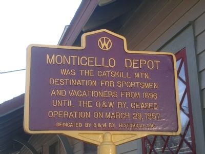
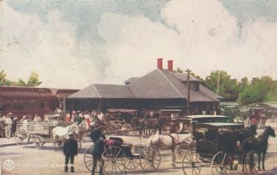
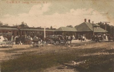
Monticello Depot
Erected 2006 by O&W Railway Historical Society.
Topics. This historical marker is listed in this topic list: Railroads & Streetcars. A significant historical month for this entry is March 1863.
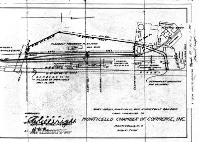
Location. 41° 38.967′ N, 74° 41.232′ W. Marker is in Monticello, New York, in Sullivan County. Marker is at the intersection of St. John Street (County Route 102) and Clinton Avenue, on the right when traveling south on St. John Street. The depot is currently (2009) owned by VanEtten Oil Co. which uses the building as a shop and warehouse. Touch for map. Marker is at or near this postal address: 80 St John Street, Monticello NY 12701, United States of America. Touch for directions.
Other nearby markers. At least 8 other markers are within 4 miles of this marker, measured as the crow flies. St John's Episcopal Church (approx. 0.3 miles away); Site of First House in Monticello (approx. 0.4 miles away); Presbyterian Church (approx. 0.4 miles away); Methodist Church (approx. 0.4 miles away); Borscht Belt - Monticello (approx. 0.4 miles away); Site of Toll House (approx. one mile away); Camp Holley (approx. 1.9 miles away); One-Room School (approx. 3.1 miles away). Touch for a list and map of all markers in Monticello.
Also see . . . Ontario & Western Railroad Historical Society. (Submitted on December 26, 2009, by Tom Rue of Monticello, New York.)
Credits. This page was last revised on June 16, 2016. It was originally submitted on December 20, 2009, by Tom Rue of Monticello, New York. This page has been viewed 1,329 times since then and 29 times this year. Last updated on December 26, 2009, by Tom Rue of Monticello, New York. Photos: 1, 2, 3, 4. submitted on December 20, 2009, by Tom Rue of Monticello, New York. • Syd Whittle was the editor who published this page.


