Albin in Frederick County, Virginia — The American South (Mid-Atlantic)
Second Battle of Winchester
Louisiana Tigers Capture West Fort
— Gettysburg Campaign —
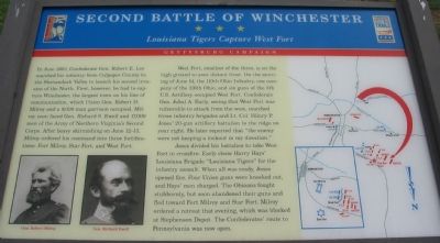
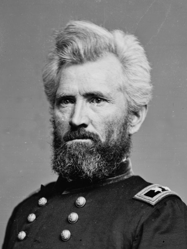
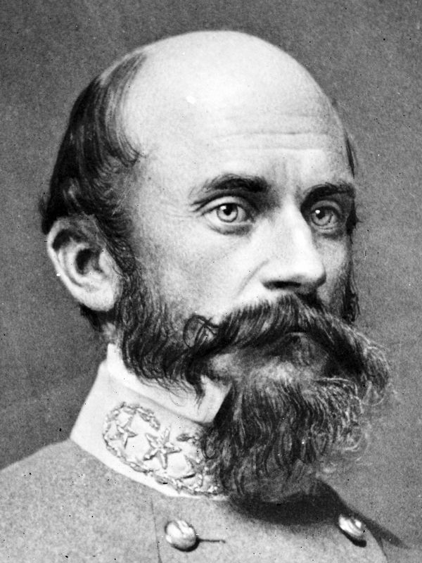
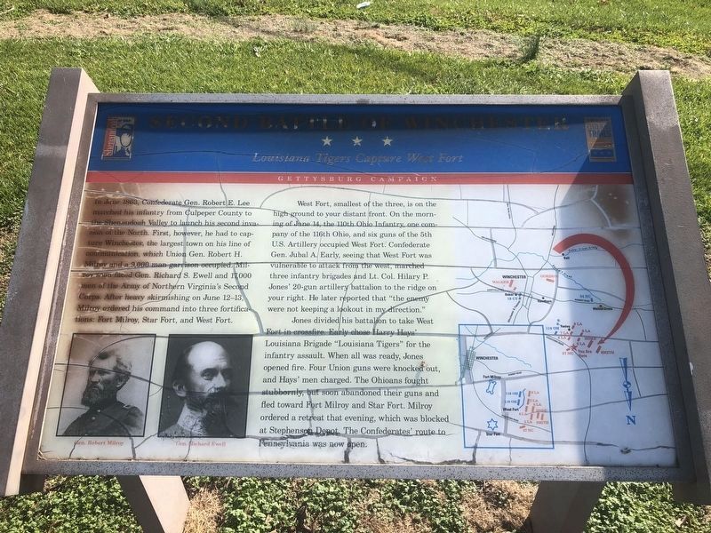
In June 1863, Confederate Gen. Robert E. Lee marched his infantry from Culpeper County to the Shenandoah Valley to launch his second invasion of the North. First, however, he had to capture Winchester, the largest town on his line of communication, which Union Gen. Robert H. Milroy and a 9,000 man garrison occupied. Milroy soon faced Gen. Robert S. Ewell and 17,000 men of the Army of Northern Virginia’s Second Corps. After heavy skirmishing on June 12-13, Milroy ordered his command into three fortifications: Fort Milroy, Star Fort, and West Fort.
West Fort, smallest of the three, is on the high ground to your distant front. On the morning of June 14, the 110th Ohio Infantry, one company of the 116th Ohio, and six guns of the 5th U.S. Artillery occupied West Fort. Confederate Gen. Jubal A. Early, seeing that West Fort was vulnerable to attack from the west, marched three infantry brigades and Lt. Col. Hilary P. Jones’ 20-gun artillery battalion to the ridge on your right. He later reported that "the enemy were not keeping a lookout in my direction."
Jones divided his battalion to take West Fort in crossfire. Early chose Harry Hays’ Louisiana Brigade “Louisiana Tigers” for the infantry assault. When all was ready, Jones opened fire. Four Union guns were knocked out, and Hays' men charged. The Ohioans fought stubbornly, but soon abandoned their guns and fled toward Fort Milroy and Star Fort. Milroy ordered a retreat that evening, which was blocked at Stephenson Depot. The Confederates’ route to Pennsylvania was now open.
Erected by Virginia Civil War Trails.
Topics and series. This historical marker is listed in this topic list: War, US Civil. In addition, it is included in the Virginia Civil War Trails series list. A significant historical month for this entry is June 1863.
Location. 39° 12.897′ N, 78° 11.494′ W. Marker is in Albin, Virginia, in Frederick County. Marker is at the intersection of Indian Hollow Road (Virginia Route 679) and North Frederick Pike (U.S. 522), on the right when traveling west on Indian Hollow Road. Touch for map. Marker is at or near this postal address: 104 Indian Hollow Road, Winchester VA 22603, United States of America. Touch for directions.
Other nearby markers. At least 8 other markers are within 2 miles of this marker, measured as the crow flies. Lord Fairfax (approx. 1.4 miles away); Constructing Star Fort (approx. 1.6 miles away); Third Battle of Winchester (approx. 1.6 miles away); a different marker also named Second Battle of Winchester (approx. 1.6 miles away); Civil War Earthworks (approx. 1.6 miles away); a different marker also named Second Battle of Winchester
Photographed By Devry Becker Jones (CC0), November 6, 2020
2. Second Battle of Winchester Marker
Unfortunately the marker has weathered significantly.
More about this marker. The marker displays portraits of Gens. Milroy and Ewell, as well as a map showing the unit maneuvers described in the text.
Also see . . .
1. Second Battle of Winchester. National Parks Service summary of the battle. (Submitted on September 23, 2007, by Craig Swain of Leesburg, Virginia.)
2. Louisiana Tigers. Wikipedia entry (Submitted on July 3, 2022, by Larry Gertner of New York, New York.)
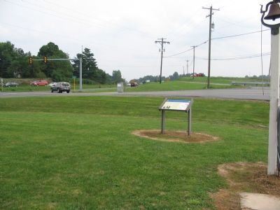
Photographed By Craig Swain, August 26, 2007
3. Louisiana Brigade's Left Flank
The Louisiana Brigade formed with their left flank along what is today the North Frederick Pike (US Highway 522, on the left), on the high ground on the other side of Indian Hollow Road (foreground). Their line of march was to the west, away from the marker's position, toward West Fort.
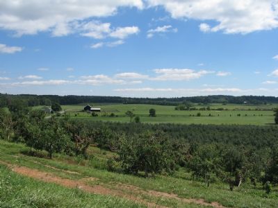
Photographed By Craig Swain, September 15, 2007
4. Early's Flank March
Early's Brigade and Jones' artillery passed through this valley and up Indian Hollow Road (on the left side of view) on their flanking march. Notice how the hills in the background block any view of (or from) Winchester. Thus Early was able to move undetected into a flanking position.
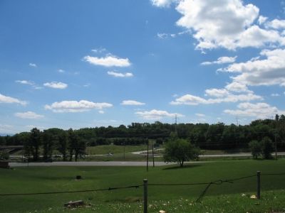
Photographed By Craig Swain, September 15, 2007
5. West Fort
The location of West Fort is not accessible, and very little of the site remains for investigation. A series of earthwork forts stood in the trees along present day Virginia Highway 37 bypass. This picture was taken from Apple Pie Ridge, near the James Wood High School, looking at the intersection of U.S. Highway 522 and Highway 37 Bypass.
West Fort was also named "Battery Number 5" and located between modern Fox Drive and Highway 37. "Battery Number 6" stood in the vicinity of the intersection (center of this photo). "Battery Number 7" was located what is now the high school grounds.
West Fort was also named "Battery Number 5" and located between modern Fox Drive and Highway 37. "Battery Number 6" stood in the vicinity of the intersection (center of this photo). "Battery Number 7" was located what is now the high school grounds.
Credits. This page was last revised on July 3, 2022. It was originally submitted on September 23, 2007, by Craig Swain of Leesburg, Virginia. This page has been viewed 2,456 times since then and 44 times this year. Photos: 1. submitted on September 23, 2007, by Craig Swain of Leesburg, Virginia. 2. submitted on November 7, 2020, by Devry Becker Jones of Washington, District of Columbia. 3, 4, 5. submitted on September 23, 2007, by Craig Swain of Leesburg, Virginia. 6, 7. submitted on September 18, 2020, by Allen C. Browne of Silver Spring, Maryland. • J. J. Prats was the editor who published this page.
