Near Zaleski in Vinton County, Ohio — The American Midwest (Great Lakes)
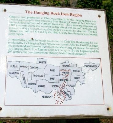
The Hanging Rock Iron Region
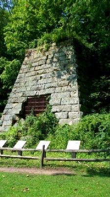
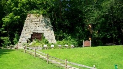
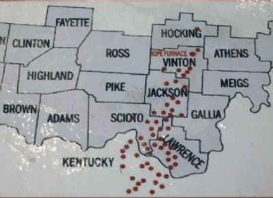
Charcoal iron production in Ohio was centered in the Hanging Rock Iron Region, a geographical area extending from Hocking County to the Ohio River and including portions of Northern Kentucky. The region encompassed an 1800 square mile area that was rich in deposits of iron ore and limestone and was covered by a forest that supplied the raw materials for charcoal. The first furnace was built in 1826 and by the 1860's, sixty-five furnaces were located in the region.
Stimulated by a need for munitions during the Civil War, the demand for iron produced by the Hanging Rock furnaces increased. After the Civil War, larger and more modern furnaces were built elsewhere, and the smaller furnaces of the Hanging Rock Iron Region could not compete. By the beginning of the 20th century, the once prosperous industry had all but disappeared.
Erected 2005 by Make A Difference Day Ohio and Others.
Topics. This historical marker is listed in these topic lists: Industry & Commerce • Man-Made Features • Natural Resources • War, US Civil. A significant historical year for this entry is 1800.
Location. 39° 19.927′ N, 82° 20.421′ W. Marker is near Zaleski, Ohio, in Vinton County. Marker is adjacent to Hope Furnace, in the Zaleski State Forest, about 200 feet north of the state forest backpack trail parking lot on Ohio Route 278 and about 1.2 miles NE of the Lake Hope dam. Touch for map. Marker is in this post office area: Zaleski OH 45698, United States of America. Touch for directions.
Other nearby markers. At least 8 other markers are within 7 miles of this marker, measured as the crow flies. Hope Furnace (here, next to this marker); The Hanging Rock Blast Furnace (here, next to this marker); From Forest to Furnace (here, next to this marker); The Furnace Legacy (here, next to this marker); Life in Zaleski (here, next to this marker); Forest Of Honor (approx. 4.3 miles away); Lockheed T33 Shooting Star (approx. 5.3 miles away); Creola (approx. 6.8 miles away). Touch for a list and map of all markers in Zaleski.
Also see . . . Iron Furnace History in Ohio. The Olde Forester website entry (Submitted on March 18, 2022, by Larry Gertner of New York, New York.)
Credits. This page was last revised on March 18, 2022. It was originally submitted on January 15, 2010, by William Fischer, Jr. of Scranton, Pennsylvania. This page has been viewed 1,989 times since then and 44 times this year. Photos: 1, 2, 3, 4. submitted on January 15, 2010, by William Fischer, Jr. of Scranton, Pennsylvania.


