Smithfield in Isle of Wight County, Virginia — The American South (Mid-Atlantic)
Smithfield
Inscription.
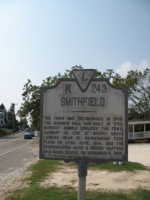
The town was established in 1752. The Masonic Hall was built in 1753. Benedict Arnold occupied the town, January 15, 1781. At Cherry Grove Landing near by, skirmishing took place on April 13-15, 1864, and the Confederates made a daring capture of a Union vessel on December 5, 1864.
Erected 1941 by Virginia Conservation Commission. (Marker Number K-243.)
Topics and series. This historical marker is listed in this topic list: Political Subdivisions. In addition, it is included in the Virginia Department of Historic Resources (DHR) series list.
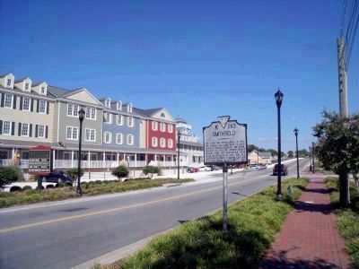
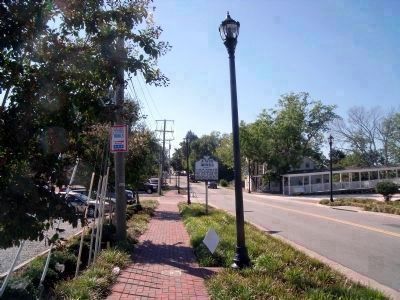
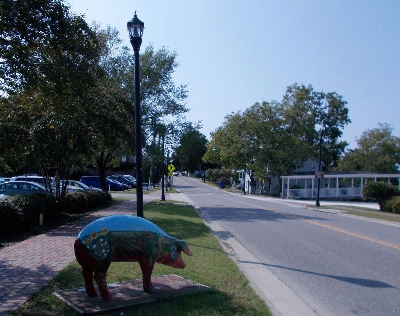
Location. This marker has been replaced by another marker nearby. It was located near 36° 58.926′ N, 76° 37.414′ W. Marker was in Smithfield, Virginia, in Isle of Wight County. Marker was on South Church Street (Virginia Route 10) 0.2 miles south of Jericho Road, on the right when traveling east. This marker was relocated to the south side of South Church Street. Touch for map. Marker was in this post office area: Smithfield VA 23430, United States of America. Touch for directions.
Other nearby markers. At least 8 other markers are within walking distance of this location. A different marker also named Smithfield (about 300 feet away, measured in a direct line); Kitchen and Laundry (approx. ¼ mile away); Smokehouse (approx. ¼ mile away); Welcome to Windsor Castle Park (approx. ¼ mile away); Farm Manager's Office (approx. 0.3 miles away); The Todd House & the First Smithfield Ham (approx. 0.4 miles away); Joseph W. Luter, III (approx. 0.4 miles away); Founding Site of Smithfield Packing Company (approx. 0.4 miles away). Touch for a list and map of all markers in Smithfield.
More about this marker. This marker was replaced by a new one also named Smithfield (see nearby markers).
Revision, September 28, 2020: This marker was removed by the Department of Historic Resources on an unknown date (Exhibit A). It was replaced with a “new” K-243 marker, Smithfield (dbm 98254), installed nearby. Originally approved in the early 1900’s by the Virginia Conservation Commission (VCC), marker number 243 had the title, Historic Smithfield; and its inscription was the same as the present-day one. In 1941, the title was changed to Smithfield by the VCC, but the number and inscription were not altered. This was probably the marker taken down by DHR.
Credits. This page was last revised on October 2, 2020. It was originally submitted on September 23, 2007. This page has been viewed 1,401 times since then and 13 times this year. Last updated on September 28, 2020, by Cynthia L. Clark of Suffolk, Virginia. Photos: 1. submitted on September 23, 2007, by Laura Troy of Burke, Virginia. 2, 3. submitted on September 20, 2010, by Bernard Fisher of Richmond, Virginia. 4, 5, 6. submitted on September 28, 2020, by Cynthia L. Clark of Suffolk, Virginia. • J. Makali Bruton was the editor who published this page.
