Pinson in Jefferson County, Alabama — The American South (East South Central)
Jefferson Warriors
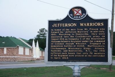
In honor of the men from Mt. Pinson who formed the "Jefferson Warriors" in mid-July, 1861. Marching to Huntsville, they were mustered into the Confederate army on August 12th as Company C of the Nineteenth Alabama Infantry Regiment under the command of Colonel Joseph Wheeler. Engaged in momentous battles at Shiloh, Murfreesboro, Chickamauga, Missionary Ridge, Atlanta, Nashville, and Bentonville, N.C., the 19th suffered such losses that only 76 members of the Regiment were present at the surrender in April, 1865.
Erected 2000 by Alabama Historical Assocition.
Topics. This historical marker is listed in this topic list: War, US Civil. A significant historical month for this entry is April 1865.
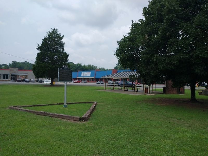
Location. 33° 41.448′ N, 86° 40.98′ W. Marker is in Pinson, Alabama, in Jefferson County. Marker is on Center Point Road (State Highway 75) south of Main Street, on the left when traveling north. The marker is located in a park between Main Street and Roddam Road. Touch for map. Marker is in this post office area: Pinson AL 35126, United States of America. Touch for directions.
Other nearby markers. At least 8 other markers are within 7 miles of this marker, measured as the crow flies. Pinson, Alabama (about 400 feet away, measured in a direct line); Center Point, Alabama (approx. 3.3 miles away); The Clay Community (approx. 4.6 miles away); Clay Methodist Cemetery (approx. 4.8 miles away); Wear Cemetery (approx. 5.7 miles away); Trussville Furnace (approx. 6.2 miles away); Trussville, Alabama (approx. 6.3 miles away); Mt. Nebo Cemetery (approx. 6.3 miles away).
Also see . . . History of Pinson Alabama. Bham Wiki website entry (Submitted on January 29, 2010, by Timothy Carr of Birmingham, Alabama.)
Credits. This page was last revised on November 30, 2023. It was originally submitted on January 29, 2010, by Timothy Carr of Birmingham, Alabama. This page has been viewed 1,760 times since then and 48 times this year. Photos: 1. submitted on January 29, 2010, by Timothy Carr of Birmingham, Alabama. 2. submitted on August 4, 2021, by Tom Bosse of Jefferson City, Tennessee. • Craig Swain was the editor who published this page.

