Apalachicola in Franklin County, Florida — The American South (South Atlantic)
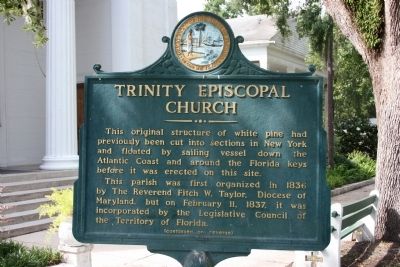
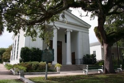
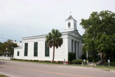
Trinity Episcopal Church
This parish was first organized in 1836 by The Reverend Fitch W. Taylor, Diocese of Maryland, but on February 11, 1837, it was incorporated by the Legislative Council of the Territory of Florida.
(continued on reverse)
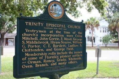
(continued from other side)
Vestrymen at the time of the church's incorporation were Colin Mitchell, John Gorrie, E. Wood, George S. Middlebrook, Hiram Nourse, William G. Porter, C.E. Bartlett, Ludlum S. Chittenden, and George Field.
Membership rolls include the names of some of Florida's pioneer settlers -- Orman, Raney, Grady, Whiteside, Oven, Branch, and many others.
Erected 1966 by Apalachicola Historical Society / Florida Board of Parks and Historic Memorials. (Marker Number F-134.)
Topics. This historical marker is listed in these topic lists: Agriculture • Churches & Religion. A significant historical month for this entry is February 1840.
Location. 29° 43.536′ N, 84° 59.166′ W. Marker is in Apalachicola, Florida, in Franklin County. Marker is on 6th Street south of Chestnut Street (State Road 98), on the right when traveling north. Touch for map. Marker is at or near this postal address: 79 6th Street, Apalachicola FL 32320, United States of America. Touch for directions.
Other nearby markers. At least 8 other markers are within walking distance of this marker. The Dr. Alvan W. Chapman House (within shouting distance of this marker); Dr. John Gorrie (about 300 feet away, measured in a direct line); a different marker also named The Dr. Alvan W. Chapman House (about 300 feet away); Methodist Episcopal Church South (about 300 feet away); The Hanserd-Fry House (about 500 feet away); Chestnut Street Cemetery of Early Apalachicola (about 500 feet away); Fort Coombs - Franklin Guards (about 600 feet away); The Raney House (approx. 0.2 miles away). Touch for a list and map of all markers in Apalachicola.
Credits. This page was last revised on November 10, 2019. It was originally submitted on January 31, 2010, by Timothy Carr of Birmingham, Alabama. This page has been viewed 913 times since then and 15 times this year. Photos: 1, 2, 3, 4. submitted on January 31, 2010, by Timothy Carr of Birmingham, Alabama. • Bill Pfingsten was the editor who published this page.


