Near Alto in Cherokee County, Texas — The American South (West South Central)
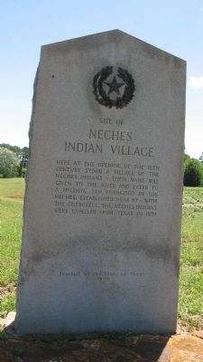
Site of Neches Indian Village
Erected 1936 by State of Texas. (Marker Number 6860.)
Topics and series. This historical marker is listed in these topic lists: Anthropology & Archaeology • Native Americans • Notable Places • Wars, US Indian. In addition, it is included in the Texas 1936 Centennial Markers and Monuments series list. A significant historical year for this entry is 1839.
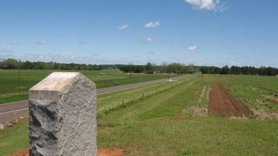
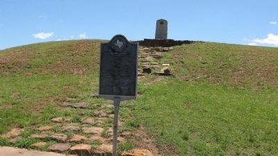
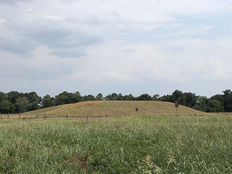
Location. Marker has been reported permanently removed. It was located near 31° 35.599′ N, 95° 9.095′ W. Marker was near Alto, Texas, in Cherokee County. Marker was on State Highway 21, on the right when traveling east. Same location as Mound Prairie history marker. Touch for map. Marker was in this post office area: Alto TX 75925, United States of America.
We have been informed that this sign or monument is no longer there and will not be replaced. This page is an archival view of what was.
Other nearby markers. At least 8 other markers are within walking distance of this location. High Temple Mound (about 300 feet away, measured in a direct line); Village Life (approx. 0.2 miles away); Borrow Pit (approx. 0.2 miles away); Low Platform Mound (approx. 0.2 miles away); Natural Spring (approx. ¼ mile away); Burial Mound (approx. 0.3 miles away); Waystation for Travelers and Traders (approx. 0.3 miles away); Travel Encounters (approx. 0.4 miles away). Touch for a list and map of all markers in Alto.
Credits. This page was last revised on August 11, 2018. It was originally submitted on January 31, 2010, by Steve Gustafson of Lufkin, Texas. This page has been viewed 1,692 times since then and 24 times this year. Last updated on August 8, 2018, by Brian Anderson of Humble, Texas. Photos: 1, 2, 3. submitted on January 31, 2010, by Steve Gustafson of Lufkin, Texas. 4. submitted on August 8, 2018, by Brian Anderson of Humble, Texas. • Bernard Fisher was the editor who published this page.


