Carnesville in Franklin County, Georgia — The American South (South Atlantic)
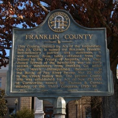
Franklin County
Erected 1954 by Georgia Historical Commission. (Marker Number 059-1.)
Topics and series. This historical marker is listed in these topic lists: Native Americans • Wars, US Indian • Waterways & Vessels. In addition, it is included in the Georgia Historical Society series list. A significant historical date for this entry is February 25, 1839.
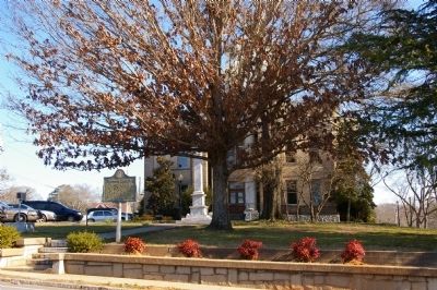
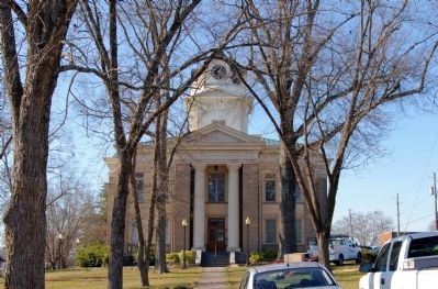
Location. 34° 22.188′ N, 83° 14.111′ W. Marker is in Carnesville, Georgia, in Franklin County. Marker is at the intersection of Lavonia Road (Georgia Route 59) and Hull Avenue (Georgia Route 145), on the right when traveling east on Lavonia Road. The marker stands on the Franklin County Courthouse lawn. Touch for map. Marker is in this post office area: Carnesville GA 30521, United States of America. Touch for directions.
Other nearby markers. At least 8 other markers are within 8 miles of this marker, measured as the crow flies. Carroll's Methodist Church (approx. 1.7 miles away); Old Federal Road Historic District (approx. 4.4 miles away); a different marker also named Carroll’s Methodist Church (approx. 4.7 miles away); Red Hill School (approx. 4.7 miles away); Double Branches Baptist Church (approx. 5.2 miles away); Poplar Springs Methodist Camp Ground (approx. 5.3 miles away); Cromer's Mill Covered Bridge (approx. 6.8 miles away); Historical Franklin Springs (approx. 7.8 miles away). Touch for a list and map of all markers in Carnesville.
Credits. This page was last revised on January 26, 2020. It was originally submitted on January 31, 2010, by David Seibert of Sandy Springs, Georgia. This page has been viewed 1,265 times since then and 32 times this year. Photos: 1, 2, 3. submitted on January 31, 2010, by David Seibert of Sandy Springs, Georgia. • Bill Pfingsten was the editor who published this page.


