Fordstown in County Meath, Leinster, Ireland — Mid-East (and Dublin)
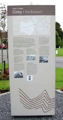
Girley / Fordstown
Meath Villages
An introduction to Fordstown
Fordstown is named after the Norman-Irish Ford family, who lived in the area. One part of the townland is sometimes referred to as Ballaghboy. Today, Fordstown is a growing, vibrant community. ‘Fordstown Street Fair’ is an old world fair, hosted by Fordstown in October each year since 2004.
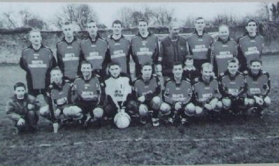
Fordrew Rovers
Fordrew Rovers Football Club was formed in 1997 and play in Drewstown. They progressed from Division 4A to Division 1 in four years. They won the Fitzsimons Cup in 2000 and 2001. They also won the Bradley Shield in 2001.
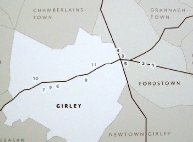
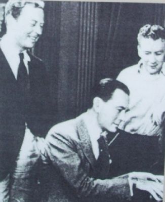
1 Moore Brothers
Matt, Owen and Tom Moore, born in Fordstown in the late 1880s, all became famous movie stars and are commemorated on the Hollywood Walk of Fame.
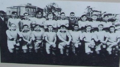
2 Fordstown G.A.A.
Fordstown G.L.C. was formed in 1947 and played in Carry's field in Fordstown. The club played junior football from 1947-1954. In 1954 they won the Junior Football Championship and were narrowly beaten in the Intermediate Final the following year. Johnny and Jimmy ‘the red’ Meehan from the Fordstown Club were on the Meath team that won the All Ireland Final in 1949. The club disbanded in 1959.
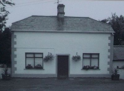
3 R.I.C. Barracks
From 1836 onwards, the R.I.C. began patrolling the rural parts of Ireland. R.I.C. barracks were located in Fordstown, Martry and Greetiagh by 1837. By 1903 R.I.C. barracks were being closed down. These included Fordstown and Martry.
[R.I.C. is ‘Royal Irish Constabulary’]
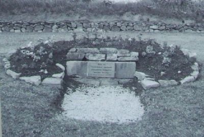
4 1798 Rebellion
Following the disastrous campaign of the Wexford Men through Meath and Ballboughal some of the many searching bands of insurgens made their way to Girley Grove for reprieve. An informer reported them to the Kells Militia who caught them in ambush, which became known locally as the ‘Ambush of Girley Grove’. More than twenty United Irish Men were killed. Their bodies are believed to be buried locally in still undiscovered Croppy Graves. On 22nd November 1998 a memorial stone was laid in their memory. The stone was once the doorstep of Athboy Jail.
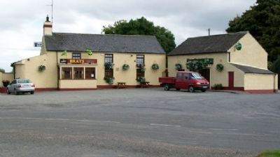
5 Brays Bar
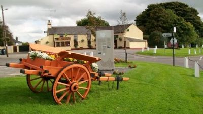
Brays Bar in Fordstown is one of the longest established licensed premises in County Meath. It was originally a water stop over for horse drawn carriages travelling between Kells and Athboy Railways. It got its first liquor licence in the 1850s. The Taaffe Family were the original owners.
An introduction to Girley
Girley in Irish is ‘Greallach’ meaning a muddy marsh plain, which refers to the nearby bog. Girley Bog, is one of the last few raised bogs in Ireland and Europe. The Saint associated with the area is St. Raed who is mentioned in the Book of Kells as he and his crozier are sureties in one of the charters recorded there. His commemoration day is on the 16th December. St Raed built a church in Girley but nothing remains of it today. A holy well bearing his name is situated close to the Norman Motte. Today, like Fordstown, Girley is a growing, vibrant place.
Girley Harvest Festival
Girley Harvest Festival commenced in 2000. It is a full working festival which has increased in popularity each year. The festival is held on the 4th Sunday in August. On the 27th August 2006 a World Record, organised by many locals, was recorded with 63 pre-1970 combine harvesters working at the festival at the same time.
6 Girley Graveyards
The old Roman Catholic graveyard contains the remnants of an old church. The Society for the Preservation of the Memorials of the Dead recorded a stone here with the date 1717. The graveyard is still used, as is a new one on the opposite side of the road.
7 Girley Protestant Churches
About 300 years after the Reformation a Protestant church was built in Girley dedicated to St. Margaret. It had a small graveyard. In 1944 the church was dismantled and re-erected in the convent grounds in Kells as the “Orphanage Chapel”.
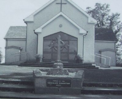
8 Girley Roman Catholic Church
Girley Roman Catholic Church was built in 1813 and dedicated to St. Colmcille. In 1911
improvements were made and an apse added. In the 1970's the church was reconstructed and dedicated to Our Lady of the Immaculate Conception. Further work was carried out to the church and grounds in 1993-94.
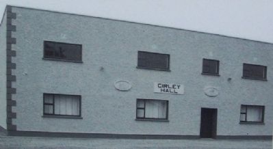
9 Girley School/Hall
Girley School was built in 1846 by Richard Rothwell a local landlord. The school served the community well for over 120 years. When it closed in 1968 it became our community centre facilitating all the groups in the area.
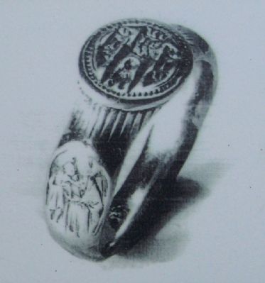
10 Medieval Seal Ring
In 1865 a gold seal ring was found close to the Norman Motte in Girley. The ring has a circular device for sealing wax, with a beaded border. Within the centre is a seated figure under an arch with a triple canopy. This figure is flanked on each side by an oval panel of the Blessed Virgin and Infant Jesus on one side and emblems of the Holy Trinity on the other side. It is believed to have been used as a wax seal for official documents which were often sent out from monasteries at the time. The ‘Girley Ring’ as it is known locally, was given to the National Museum in the late 1890s.
11 Grove Garden and Open Farm
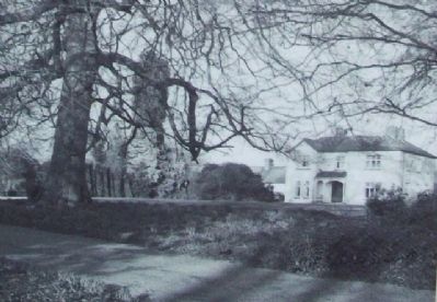
10 acres of gardens, tropical birds and animals. Generations of the Dillon family have lived and farmed here since 1716. The original house was restored in 1904. Today's gardens are the creation of Pat Dillon. The gardens are famous for their varieties of roses and clematis. Grove Gardens featured on many television programmes and are recommended as one of the top ten places to visit by ‘Ireland for Garden Lovers’. Open daily 10-6 pm.
Erected 2008 by Meath County Council, Meath Leader, the European Union, and the Irish Department of Community, Rural & Gaeltacht Affairs.
Topics. This historical marker is listed in this topic list: Notable Places. A significant historical date for this entry is November 22, 1998.
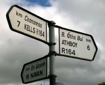
Location. 53° 40.209′ N, 6° 54.131′ W. Marker is in Fordstown, Leinster, in County Meath. Marker is at the intersection of Kells Road (Local Route 164) and Navan Road, on the right when traveling north on Kells Road. Marker is about 50 meters NW of Brays Bar. Touch for map. Touch for directions.
Other nearby markers. At least 8 other markers are within 8 kilometers of this marker, measured as the crow flies. Suffolk Street (approx. 6.5 kilometers away); The Churchyard Wall (approx. 6.5 kilometers away); Kells Round Tower (approx. 6.5 kilometers away); Catherine Dempsey (approx. 6.6 kilometers away); St Columba's Church (approx. 6.6 kilometers away); Kells Courthouse (approx. 6.6 kilometers away); Market Cross (approx. 6.6 kilometers away); Headfort Place (approx. 6.6 kilometers away).
Also see . . . 1798 Irish Rebellion. (Submitted on February 9, 2010.)
Credits. This page was last revised on February 6, 2017. It was originally submitted on February 9, 2010, by William Fischer, Jr. of Scranton, Pennsylvania. This page has been viewed 2,786 times since then and 260 times this year. Photos: 1, 2, 3, 4, 5, 6, 7, 8, 9, 10, 11, 12, 13, 14. submitted on February 9, 2010.
Editor’s want-list for this marker. Full photo of Fordstown side of marker • Can you help?
