Midtown - Downtown in Columbia in Richland County, South Carolina — The American South (South Atlantic)
Site of Columbia High School
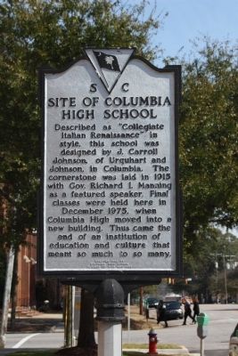
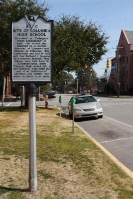
Described as "Collegiate Italian Renaissance" in style, this school was designed by J. Carroll Johnson, of Urquhart and Johnson, in Columbia. The cornerstone was laid in 1915 with Gov. Richard I. Manning as a featured speaker. Final classes were held here in December 1975, when Columbia High moved into a new building. Thus came the end of an institution of education and culture that meant so much to so many.
Erected 1986 by The Columbia High School Class of 1925. (Marker Number 40-97.)
Topics. This historical marker is listed in this topic list: Education. A significant historical month for this entry is December 1975.
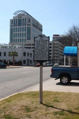
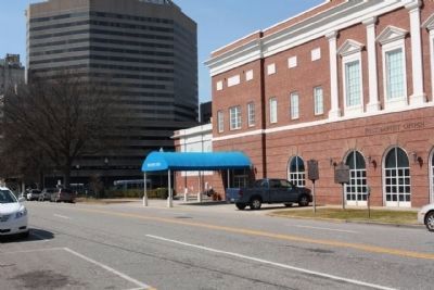
Location. 34° 0.293′ N, 81° 1.915′ W. Marker is in Columbia, South Carolina, in Richland County. It is in Midtown - Downtown. Marker is on Washington Street west of Marion Street, on the right when traveling west. Located between Marion Street and North Sumter Street. Touch for map. Marker is in this post office area: Columbia SC 29201, United States of America. Touch for directions.
Other nearby markers. At least 10 other markers are within walking distance of this marker. Site of Columbia Female Academy (a few steps from this marker); Washington Street Methodist Church (within shouting distance of this marker); a different marker also named Washington Street Methodist Church (within shouting distance of this marker); First Presbyterian Church Confederate Veterans Monument (about 400 feet away, measured in a direct line); Cecil Herbert Land D.D. (about 400 feet away); First Presbyterian Church (about 400 feet away); a different marker also named First Presbyterian Church (about 500 feet away); Ordinance of Secession (about 500 feet away); First Baptist Church (about 500 feet away); Site of Gibbes House (about 600 feet away). Touch for a list and map of all markers in Columbia.
Credits. This page was last revised on February 16, 2023. It was originally submitted on February 28, 2010, by Mike Stroud of Bluffton, South Carolina. This page has been viewed 785 times since then and 25 times this year. Photos: 1, 2, 3, 4. submitted on March 2, 2010, by Mike Stroud of Bluffton, South Carolina. • Bill Pfingsten was the editor who published this page.


