Solebury Township near New Hope in Bucks County, Pennsylvania — The American Northeast (Mid-Atlantic)
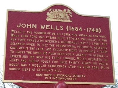
John Wells
(1684 - 1748)
Erected by New Hope Historical Society and Professional Landscape Services, Inc.
Topics. This historical marker is listed in these topic lists: Cemeteries & Burial Sites • Colonial Era • Industry & Commerce • Waterways & Vessels. A significant historical year for this entry is 1722.
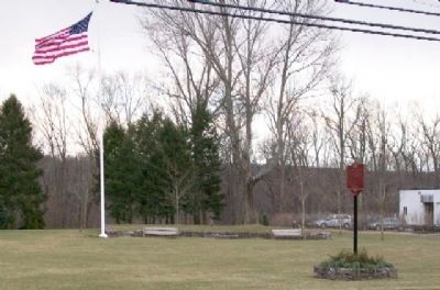
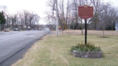
Location. 40° 21.672′ N, 74° 58.209′ W. Marker is near New Hope, Pennsylvania, in Bucks County. It is in Solebury Township. Marker is on York Road (Pennsylvania Route 179) 0.1 miles east of Lower York Road (U.S. 202), on the right when traveling east. Touch for map. Marker is at or near this postal address: 6650 Lower York Road, New Hope PA 18938, United States of America. Touch for directions.
Other nearby markers. At least 8 other markers are within one mile of this marker, measured as the crow flies. Mills (approx. 0.3 miles away); Old Revolutionary Fort (approx. 0.8 miles away); The Beaumont House (approx. one mile away); Samuel D. Ingham (approx. one mile away); Indian Logan (approx. one mile away); Cannon (approx. one mile away); New Hope World War I Memorial (approx. one mile away); Road to Monmouth Battlefield (approx. one mile away). Touch for a list and map of all markers in New Hope.
Also see . . . History of New Hope. (Submitted on March 3, 2010, by William Fischer, Jr. of Scranton, Pennsylvania.)
Credits. This page was last revised on February 7, 2023. It was originally submitted on March 3, 2010, by William Fischer, Jr. of Scranton, Pennsylvania. This page has been viewed 1,172 times since then and 28 times this year. Photos: 1, 2, 3. submitted on March 3, 2010, by William Fischer, Jr. of Scranton, Pennsylvania.


