Mooresville in Limestone County, Alabama — The American South (East South Central)
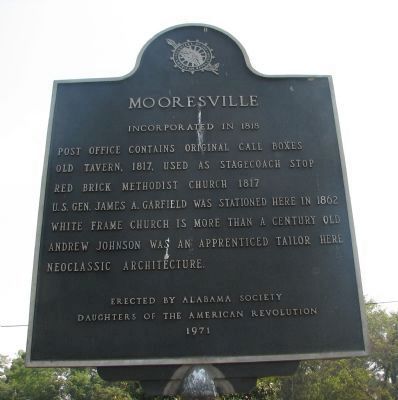
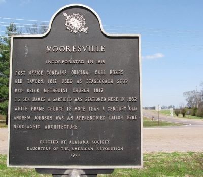
Mooresville
Incorporated in 1818
Post office contains original call boxes
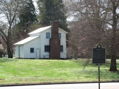
Old tavern, 1817 used as stagecoach stop
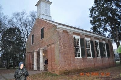
Red Brick Methodist church 1817
U.S. Gen. James A Garfield was stationed here 1862
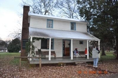
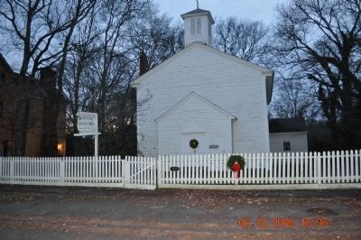
White frame church is more than a century old
Andrew Johnson was apprenticed tailor here
Neoclassic architecture
Erected 1971 by Alabama Society Daughters of the American Revolution.
Topics and series. This historical marker is listed in these topic lists: Churches & Religion • Communications • Government & Politics • Industry & Commerce. In addition, it is included in the Daughters of the American Revolution, and the Former U.S. Presidents: #17 Andrew Johnson series lists. A significant historical year for this entry is 1817.
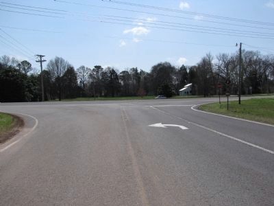
Location. 34° 37.658′ N, 86° 52.802′ W. Marker is in Mooresville, Alabama, in Limestone County. Marker is at the intersection of Old Highway 20 and Mooresville Road on Old Highway 20. Touch for map. Marker is in this post office area: Mooresville AL 35649, United States of America. Touch for directions.
Other nearby markers. At least 8 other markers are within 2 miles of this marker, measured as the crow flies. Cottonport / Mooresville (here, next to this marker); Mooresville, Alabama / Mooresville Stagecoach Inn and Tavern (about 400 feet away, measured in a direct line); Mooresville Alabama (about 400 feet away); Historic Mooresville (about 400 feet away); Historic Homes of Mooresville (about 400 feet away); Historic Buildings in Mooresville (about 400 feet away); Mooresville Brick Church/The Cumberland Presbyterian Church (about 400 feet away); Belle Mina / Woodside (approx. 1.2 miles away). Touch for a list and map of all markers in Mooresville.
Photographed By Sandra Hughes Tidwell, April 17, 2021
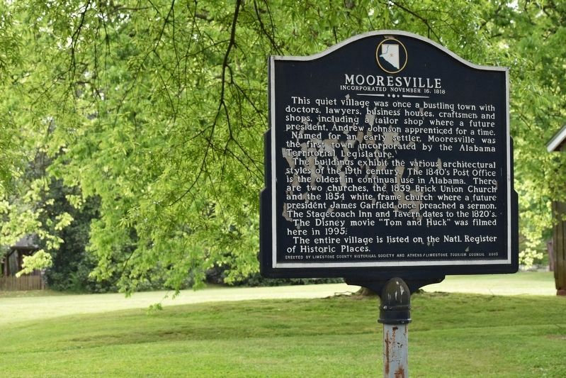
9. A related nearby marker - Mooresville Incorporated November 16, 1818
This quite village was once a bustling town with doctors, lawyers, business houses, craftsmen, and shops, including a tailor shop where a future president, Andrew Johnson apprenticed for a time.
Named for an early settler, Mooresville wa sthe first town incorporate by the Alabama Territorial Legislature.
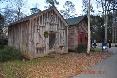
The building exhibit the various architectural styles of the 19th century. The 1840s Post Office is th elopes tin continual use in Alabama. There are two churches, the 1839 Brick Union Church were a future president James Garfield once preached a sermon. The Stagecoach Inn and Tavern dates to the 1820's.
The Disney move "Tom and Huck" was filmed here in 1995.
The entire village is listed on the Natl. Register of Historic Places.
Credits. This page was last revised on January 7, 2022. It was originally submitted on March 4, 2010, by Sandra Hughes Tidwell of Killen, Alabama, USA. This page has been viewed 1,512 times since then and 43 times this year. Photos: 1. submitted on March 4, 2010, by Sandra Hughes Tidwell of Killen, Alabama, USA. 2. submitted on March 29, 2010, by Lee Hattabaugh of Capshaw, Alabama. 3, 4. submitted on March 4, 2010, by Sandra Hughes Tidwell of Killen, Alabama, USA. 5. submitted on March 29, 2010, by Lee Hattabaugh of Capshaw, Alabama. 6, 7. submitted on March 4, 2010, by Sandra Hughes Tidwell of Killen, Alabama, USA. 8. submitted on March 29, 2010, by Lee Hattabaugh of Capshaw, Alabama. 9. submitted on January 6, 2022, by Sandra Hughes Tidwell of Killen, Alabama, USA. • Bill Pfingsten was the editor who published this page.
Editor’s want-list for this marker. Marker has possibly moved across road on side of tavern. • Can you help?
