Sierra Vista in Cochise County, Arizona — The American Mountains (Southwest)
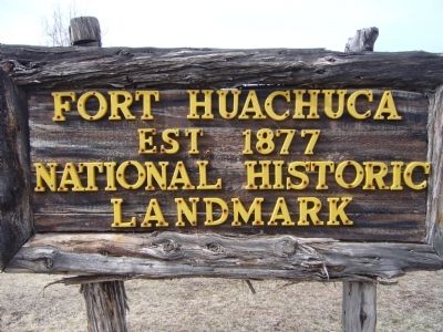
Fort Huachuca
National Historic
Landmark
Topics and series. This historical marker is listed in these topic lists: Forts and Castles • Military • Notable Places. In addition, it is included in the National Historic Landmarks series list. A significant historical year for this entry is 1877.
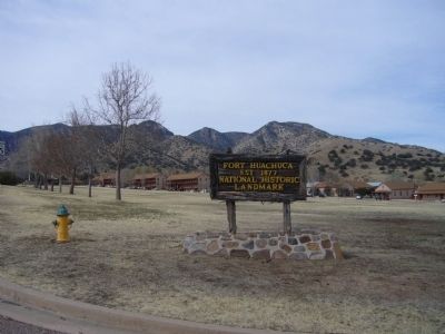
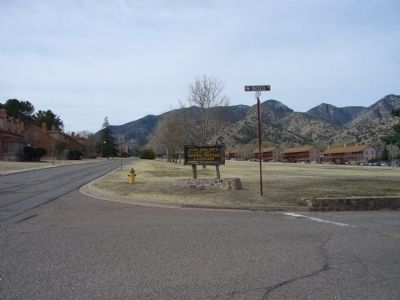
Location. 31° 33.028′ N, 110° 21.894′ W. Marker is in Sierra Vista, Arizona, in Cochise County. Marker is at the intersection of Grierson Avenue and Boyd Avenue, on the right when traveling south on Grierson Avenue. Touch for map. Marker is in this post office area: Fort Huachuca AZ 85613, United States of America. Touch for directions.
Other nearby markers. At least 8 other markers are within 4 miles of this marker, measured as the crow flies. Apache Scout Memorial (about 400 feet away, measured in a direct line); Buffalo Soldier Legacy Plaza (approx. 0.4 miles away); Ice Hall (approx. 1.3 miles away); Counter Intelligence Corp Memorial (approx. 1.4 miles away); Alvarado Hall (approx. 1.4 miles away); RC – 12G Crazyhorse (approx. 1.7 miles away); U. S. Army Mohawk (OV -1D) (approx. 1.7 miles away); Carmichael House/Sierra Vista Realty (approx. 3˝ miles away). Touch for a list and map of all markers in Sierra Vista.
Regarding Fort Huachuca. Fort Huachuca was designated as a National Historic Landmark on May 11, 1976:
Statement of Significance:
Founded in 1877, this cavalry outpost played a prominent role in subduing the last significant Indian group ranging free of reservation restraints: The Chiracahua Apache led by Geronimo. Fort Huachuca also served as headquarters for the Army's four all-Black regiments. The fort survives today as an active military installation.
Also see . . . Fort Huachuca Article on Wikipedia. (Submitted on March 6, 2010, by Bill Kirchner of Tucson, Arizona.)
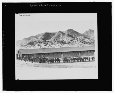
Photographed By U.S. Army Photo, circa 1944
4. Fort Huachuca
Photo on file at the Fort Huachuca Museum:
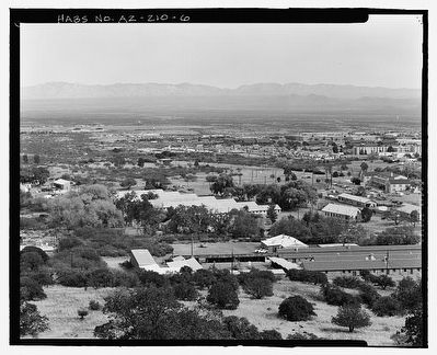
Looking to the West. The 1916 stables are visible to the East of the foothills of the Huachuca Mountains.
Historic American Buildings Survey
HABS AZ-210
Click for more information.
Historic American Buildings Survey
HABS AZ-210
Click for more information.
Credits. This page was last revised on August 29, 2020. It was originally submitted on March 6, 2010, by Bill Kirchner of Tucson, Arizona. This page has been viewed 1,594 times since then and 41 times this year. Photos: 1, 2, 3. submitted on March 6, 2010, by Bill Kirchner of Tucson, Arizona. 4. submitted on March 8, 2010. 5. submitted on March 8, 2010, by Syd Whittle of Mesa, Arizona. • Syd Whittle was the editor who published this page.
