Cheraw in Chesterfield County, South Carolina — The American South (South Atlantic)
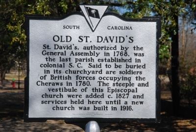
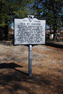
Old St. David's
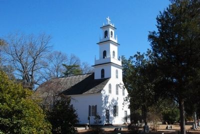
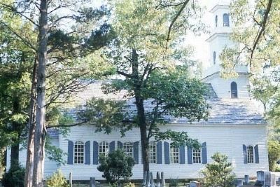
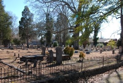
St. David's, authorized by the General Assembly in 1768, was the last parish established in colonial S.C. Said to be buried in its churchyard are soldiers of British forces occupying the Cheraws in 1780. The steeple and vestibule of this Episcopal church were added c.1827 and services were held here until a new church was built in 1916.
Erected 1979 by Chesterfield County Historical Society. (Marker Number 13-1.)
Topics and series. This historical marker is listed in these topic lists: Cemeteries & Burial Sites • Churches & Religion • Colonial Era. In addition, it is included in the South Carolina, Chesterfield County Historical and Preservation Societies series list. A significant historical year for this entry is 1768.
Location. 34° 41.766′ N, 79° 52.782′ W. Marker is in Cheraw, South Carolina, in Chesterfield County. Marker is at the intersection of Church Street and Front Street, on the right when traveling east on Church Street. Touch for map. Marker is at or near this postal address: 91 Church Street, Cheraw SC 29520, United States of America. Touch for directions.
Other nearby markers. At least 10 other markers are within 3 miles of this marker, measured as the crow flies. The 71st Regiment of Foot (here, next to this marker); Francis Asbury's First Visit to S.C. (within shouting distance of this marker); Captain Mose Rogers (within shouting distance of this marker); Cheraw Confederate Memorial (about 400 feet away, measured in a direct line); Pee Dee Union Baptist Church (about 500 feet away); Coulter Memorial Academy Site (approx. half a mile away); Dizzy Gillespie Birthplace (approx. ¾ mile away); Greene's Encampment / Sherman's March (approx. 2 miles away); Albert M. Shipp (approx. 2 miles away); John Lyde Wilson (approx. 2.6 miles away). Touch for a list and map of all markers in Cheraw.
Credits. This page was last revised on June 16, 2016. It was originally submitted on March 6, 2010, by Michael Sean Nix of Spartanburg, South Carolina. This page has been viewed 2,067 times since then and 27 times this year. Photos: 1. submitted on March 6, 2010, by Michael Sean Nix of Spartanburg, South Carolina. 2, 3, 4, 5. submitted on March 7, 2010, by Michael Sean Nix of Spartanburg, South Carolina. • Bill Pfingsten was the editor who published this page.
