Leesburg in Loudoun County, Virginia — The American South (Mid-Atlantic)
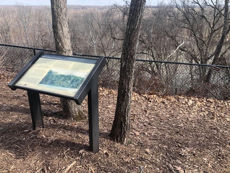
Ballís Bluff Overlook
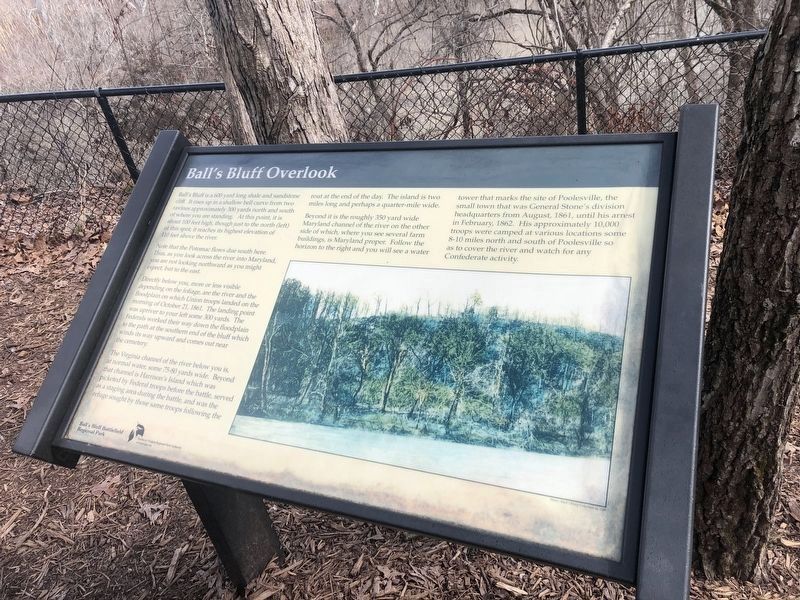
Ball's Bluff is a 600 yard long shale and sandstone cliff. It rises up a shallow bell curve from two ravines approximately 300 yards north and south of where you are standing. At this point, it is about 100 feet high, though just to the north (left) of this spot, it reaches its highest elevation of 110 feet above the river.
Note that the Potomac flows due south here. Thus, as you look across the river into Maryland, you are not looking northward as you might expect, but to the east.
Directly below you, more or less visible depending on the foliage, are the river and the floodplain on which Union troops landed on the morning of October 21, 1861. The landing point was upriver to your left some 300 yards. The Federals worked their way down the floodplain to the path at the southern end of the bluff which winds its way upward and comes out near the cemetery.
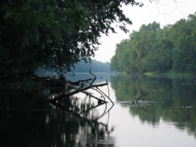
The Virginia channel of the river below you is, at normal water, some 75-80 yards wide. Beyond that channel is Harrison's Island which was picketed by Federal troops before the battle, and was the refuge sought by those same troops following the rout at the end of the day. The island is two miles long and perhaps a quarter-mile wide.
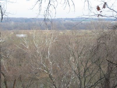
Beyond it is the roughly 350 yard wide Maryland channel of the river on the other side of which, where you see several farm buildings, is Maryland proper. Follow the horizon to the right and you will see a water tower that marks the site of Poolesville, the small town that was General Stone's division headquarters from August, 1861, until his arrest in February, 1862. His approximately 10,000 troops were camped at various locations some 8-10 miles north and south of Poolesville so as to cover the river and watch for any Confederate activity.
Erected by Ball's Bluff Regional Park/Northern Virginia Regional Park Authority.
Topics and series. This historical marker is listed in this topic list: War, US Civil. In addition, it is included in the NOVA Parks series list. A significant historical month for this entry is February 1862.
Location. 39° 7.978′ N, 77° 31.606′ W. Marker is in Leesburg, Virginia, in Loudoun County. Marker can be reached from Ballís Bluff Road, on the right when traveling east. Located at the overlook trail stop, inside Ballís Bluff Regional Park. Touch for map. Marker is in this post office area: Leesburg VA 20175, United States of America. Touch for directions.
Other nearby markers. At least 8 other markers are within walking distance of this marker. Union Artillery (within shouting distance of this marker); 20th Massachusetts Infantry (within shouting distance of this marker); M1841 12 Pound Mountain Howitzer (about 300 feet away, measured in a direct line); 13 Pounder "James Rifle"
More about this marker. The marker displays a photograph of Balls Bluff as seen from the river.
Regarding Ballís Bluff Overlook. This marker is one of a set along the Balls Bluff Battlefield walking trail. See the Balls Bluff Virtual Tour by Markers link below for details on each stop.
Also see . . .
1. Staff Ride Guide to the Battle of Balls Bluff. U.S. Army Center of Military History website entry (Submitted on October 8, 2007, by Craig Swain of Leesburg, Virginia.)
2. Ballís Bluff Battlefield Regional Park. NOVA Parks website entry (Submitted on February 29, 2024, by Larry Gertner of New York, New York.)
3. Balls Bluff Battlefield Virtual Tour by Marker. Over twenty markers detail the action at Balls Bluff and related sites. Please use the Click
to map all markers shown on this page option at the bottom of the page to view a map of the marker locations. The hybrid view offers an excellent overlook of the park. (Submitted on November 11, 2007, by Craig Swain of Leesburg, Virginia.)
Credits. This page was last revised on February 29, 2024. It was originally submitted on October 8, 2007, by Craig Swain of Leesburg, Virginia. This page has been viewed 2,240 times since then and 54 times this year. Last updated on May 24, 2020, by Bradley Owen of Morgantown, West Virginia. Photos: 1, 2. submitted on March 6, 2021, by Devry Becker Jones of Washington, District of Columbia. 3, 4. submitted on October 8, 2007, by Craig Swain of Leesburg, Virginia. • J. Makali Bruton was the editor who published this page.


