English Crossroads in Lee County, South Carolina — The American South (South Atlantic)
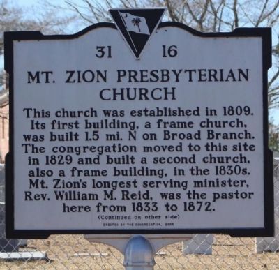
Mt. Zion Presbyterian Church
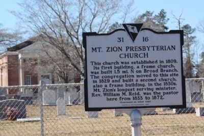
This church was established in 1809. Its first building, a frame church, was built 1.5 mi. N on Broad Branch. The congregation moved to this site in 1829 and built a second church, also a frame building, in the 1830s. Mt. Zion's longest serving minister, Rev. William M. Reid, was the pastor here from 1833 to 1872.
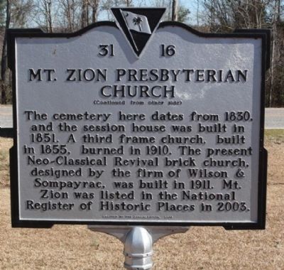
(Reverse text)
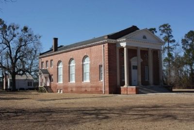
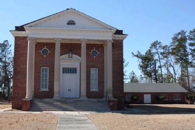
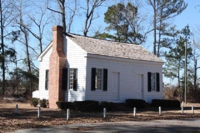
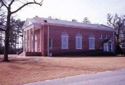
The cemetery here dates from 1830, and the session house was built in 1851. A third frame church, built in 1855, burned in 1910. The present Neo-Classical Revival brick church, designed by the firm of Wilson & Sompayrac, was built in 1911. Mt. Zion was listed in the National Register of Historic Places in 2003.
Erected 2005 by The Congregation. (Marker Number 31-16.)
Topics. This historical marker is listed in this topic list: Churches & Religion. A significant historical year for this entry is 1809.
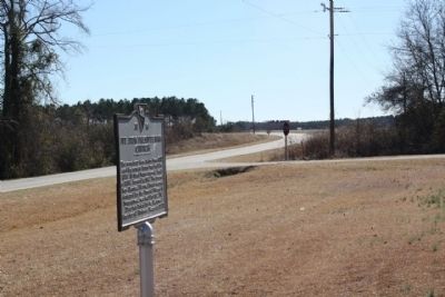
Location. 34° 6.026′ N, 80° 13.637′ W. Marker is in English Crossroads, South Carolina, in Lee County. Marker is on St. Charles Highway (State Highway 154) near County Road 31-235, on the right when traveling south. Touch for map. Marker is in this post office area: Bishopville SC 29010, United States of America. Touch for directions.
Other nearby markers. At least 8 other markers are within 8 miles of this marker, measured as the crow flies. Rev. Thomas Reese English (approx. 1.1 miles away); Rev. John Leighton Wilson, D.D. (approx. 3.8 miles away); Bethel United Methodist Church (approx. 5.7 miles away); Rembert Cemetery (approx. 7.1 miles away); Rembert Church (approx. 7.2 miles away); W. Green Deschamps, Jr. Highway (approx. 7.2 miles away); James Jenkins (approx. 7½ miles away); The Mayesville Story (approx. 7.9 miles away).
Regarding Mt. Zion Presbyterian Church. This Neo-Classical building, constructed in 1911, is an excellent and unusual example of an early twentieth century sanctuary in rural eastern South Carolina and one of the many designs by the architectural firm of Wilson & Sompayrac of Columbia, the most successful firm in the state during the first two decades of the century. Its principals were Charles Coker Wilson and Edwin Douglas Sompayrac. The present sanctuary is the fourth to serve this congregation. The church is a linear gable-front, temple-form, two-story brick building laid in Flemish bond with an eastern oriented façade. Set upon a raised brick foundation surmounted by a soldier course water table, the building’s most imposing feature is its tetrastyle portico featuring a full-width masonry stair with cheek walls and monumental limestone columns and pilasters of the Ionic order. The portico’s pediment, as well as the building’s surrounding entablature, is embellished with modillions. The sanctuary contains walls and ceiling finished in smooth plaster with monumental Doric order pilasters accentuating the wall surfaces between the large Palladian windows, at each corner and to either side of the arched overflow and balconied alcove at the west end of the room. Directly to the rear of the church building is a small, one-story lateral-gabled frame building, constructed in 1851 as Mt. Zion’s Session House. The nominated acreage also contains a large cemetery containing graves of church members dating from ca. 1830 to the present. Listed in the National Register July 17, 2003.(South Carolina Department of Archives and History)
Credits. This page was last revised on June 16, 2016. It was originally submitted on March 9, 2010, by Mike Stroud of Bluffton, South Carolina. This page has been viewed 1,242 times since then and 29 times this year. Photos: 1, 2, 3, 4, 5, 6, 7, 8. submitted on March 9, 2010, by Mike Stroud of Bluffton, South Carolina. • Craig Swain was the editor who published this page.
