Falls Church, Virginia — The American South (Mid-Atlantic)
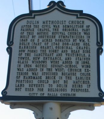
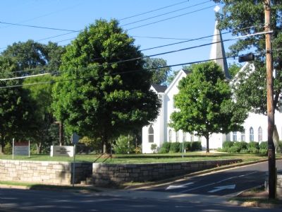
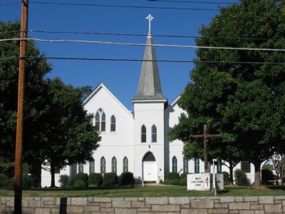
Dulin Methodist Church
Erected by City of Falls Church.
Topics and series. This historical marker is listed in this topic list: Churches & Religion. In addition, it is included in the Virginia, City of Falls Church series list. A significant historical year for this entry is 1869.
Location. 38° 52.646′ N, 77° 9.804′ W. Marker is in Falls Church, Virginia. Marker is on East Broad Street (State Highway 7), on the right when traveling west. Touch for map. Marker is at or near this postal address: 513 East Broad Street, Falls Church VA 22046, United States of America. Touch for directions.
Other nearby markers. At least 8 other markers are within walking distance of this marker. Wren’s Tavern (about 700 feet away, measured in a direct line); Tallwood (about 700 feet away); Turnpike Tollgate (approx. 0.2 miles away); The Birch House (approx. ¼ mile away); Jefferson Institute (approx. ¼ mile away); Falls Church High School (FCHS) Site (approx. 0.3 miles away); Taylor’s Tavern (approx. 0.3 miles away); Presbyterian Church (approx. 0.3 miles away). Touch for a list and map of all markers in Falls Church.
Also see . . .
1. History of the Dulin United Methodist Church. (Submitted on October 8, 2007, by Craig Swain of Leesburg, Virginia.)
2. Dulin Methodist Church Photos. A comparison between a 1905 photo and one from 2000. (Submitted on October 8, 2007, by Craig Swain of Leesburg, Virginia.)
Credits. This page was last revised on June 16, 2016. It was originally submitted on October 8, 2007, by Craig Swain of Leesburg, Virginia. This page has been viewed 2,306 times since then and 32 times this year. Photos: 1, 2, 3. submitted on October 8, 2007, by Craig Swain of Leesburg, Virginia.


