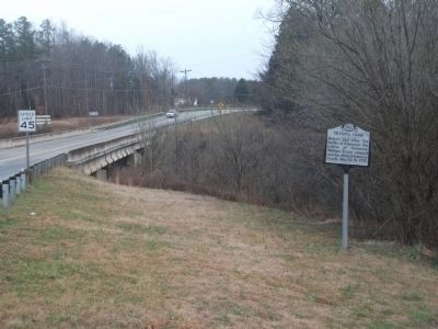
Bellemont in Burlington in Alamance County, North Carolina — The American South (South Atlantic)
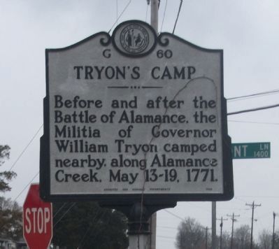
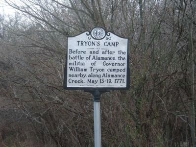
Tryon's Camp
Erected 1954 by Archives and Highway Department. (Marker Number G-60.)
Topics and series. This historical marker is listed in these topic lists: Colonial Era • Notable Events • Patriots & Patriotism. In addition, it is included in the North Carolina Division of Archives and History series list. A significant historical date for this entry is May 13, 1865.
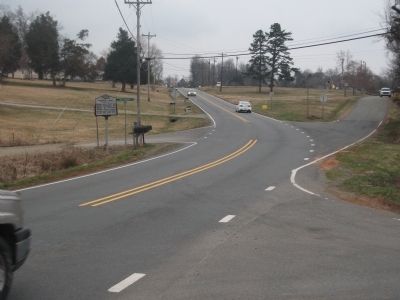
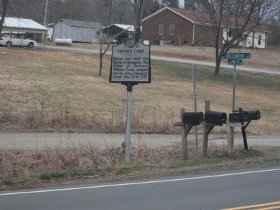
Location. 36° 1.534′ N, 79° 26.573′ W. Marker is in Burlington, North Carolina, in Alamance County. It is in Bellemont. Marker is at the intersection of State Highway 49 and 1300 Bellemont Lane on State Highway 49. From Interstate 85/40, Travel south on NC Highway 49, through the village of Bellemont. Marker is less than three miles, on your left. Touch for map. Marker is at or near this postal address: 3991 State Hwy 49, Burlington NC 27215, United States of America. Touch for directions.
Other nearby markers. At least 8 other markers are within 3 miles of this marker, measured as the crow flies. Pyle's Defeat (approx. 1.7 miles away); St. Paul's Lutheran Church (approx. 2 miles away); Michael Holt II (approx. 2.4 miles away); a different marker also named Pyle's Defeat (approx. 2˝ miles away); Trading Path (approx. 2˝ miles away); Cedarock Historical Farm (approx. 2˝ miles away); John and Polly Garrett House (approx. 2˝ miles away); Original Garrett House (approx. 2.6 miles away). Touch for a list and map of all markers in Burlington.
Additional keywords. Graham, Mebane, Mebanesville, Hillsboro, American Revolutionary War, Battle of Guilford Courthouse, Regulators
Credits. This page was last revised on May 9, 2023. It was originally submitted on March 11, 2010, by Paul Jordan of Burlington, N. C., U. S. A.. This page has been viewed 1,233 times since then and 47 times this year. Last updated on May 9, 2023, by Michael Buckner of Durham, North Carolina. Photos: 1, 2, 3. submitted on March 11, 2010, by Paul Jordan of Burlington, N. C., U. S. A.. 4, 5. submitted on March 14, 2010, by Paul Jordan of Burlington, N. C., U. S. A.. • J. Makali Bruton was the editor who published this page.
