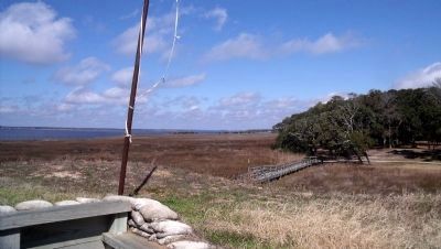
Kure Beach in New Hanover County, North Carolina — The American South (South Atlantic)
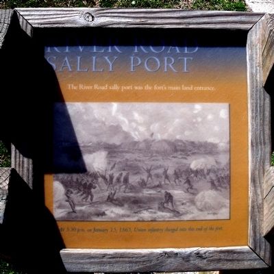
River Road Sally Port
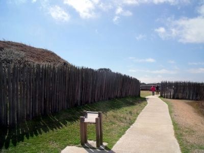
The River Road sally port was the fort’s main land entrance.
At 3:30 p.m. on January 15, 1865, Union infantry charged into this end of the fort.
Erected by Fort Fisher State Historic Site. (Marker Number 6.)
Topics. This historical marker is listed in these topic lists: Forts and Castles • War, US Civil. A significant historical month for this entry is January 1861.
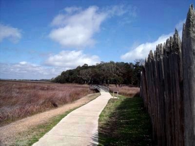
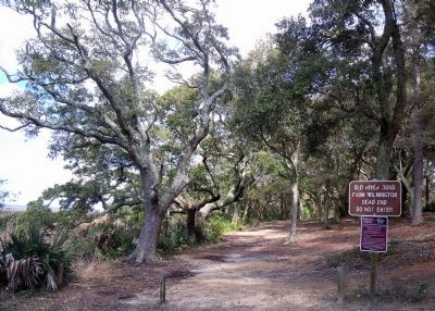
Location. 33° 58.352′ N, 77° 55.19′ W. Marker is in Kure Beach, North Carolina, in New Hanover County. Marker can be reached from Fort Fisher Boulevard South (U.S. 421) near Battle Acre Road. This marker is located along the quarter-mile tour trail at Fort Fisher State Historic Site. Touch for map. Marker is at or near this postal address: 1610 Fort Fisher Boulevard South, Kure Beach NC 28449, United States of America. Touch for directions.
Other nearby markers. At least 8 other markers are within walking distance of this marker. Shepherd’s Battery (within shouting distance of this marker); Restoration of Shepherd’s Battery (within shouting distance of this marker); a different marker also named Shepherd’s Battery (within shouting distance of this marker); Shepherd’s Bombproof (within shouting distance of this marker); Lamb Expands the Fort, 1862-1865 (about 400 feet away, measured in a direct line); Union Fiasco - The First Battle (about 500 feet away); Growth of Fort Fisher, 1861-1862 (about 500 feet away); Capture! (about 600 feet away). Touch for a list and map of all markers in Kure Beach.
More about this marker. The illustration is from Harper's Weekly "The Assault and Capture of Fort Fisher, January 15,1865."
Also see . . . Fort Fisher. North Carolina Historic Sites (Submitted on March 15, 2010, by Bernard Fisher of Richmond, Virginia.)
Credits. This page was last revised on February 27, 2021. It was originally submitted on March 15, 2010, by Bernard Fisher of Richmond, Virginia. This page has been viewed 739 times since then and 12 times this year. Photos: 1, 2, 3, 4. submitted on March 15, 2010, by Bernard Fisher of Richmond, Virginia. 5. submitted on March 16, 2010, by Bernard Fisher of Richmond, Virginia.
