San Mateo in San Mateo County, California — The American West (Pacific Coastal)
Pacific City
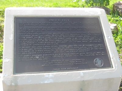
The idea to build an amusement park at this site was conceived by local civic leaders. This park would rival those at Coney Island and Atlantic City.
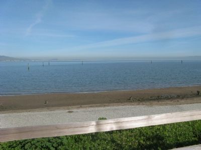
The Pacific City site was 90 acres, stretching from Peninsula Avenue to Burlingame Avenue and the Bay shoreline to Coyote Point. Construction began in early 1922.
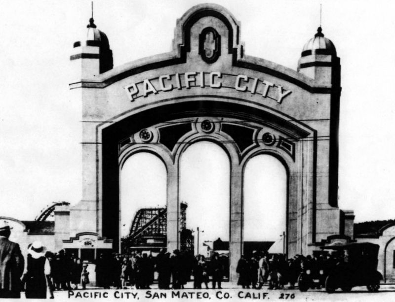
Pacific City cost nearly one million dollars. The park had a 3200-foot boardwalk along the sandy beach, 468 foot pleasure pier, white-maple dance pavilion (largest in the West), giant ferris wheel, fearsome roller coaster ride called “The Comet” (said to be the second largest in the USA and fastest in the west), and a colorful Merry-Go-Round. Many eating establishments were available including the “Ocean Wave,” an elegant restaurant located at pier’s end.
On opening day, July 1, 1922, 27,000 visitors arrived. The attendance climbed to a record – 100,000 visitors on July 4, 1922. Later, cold winds and foul odors of sewage – polluted waters discouraged attendants. By the close of 1923, Pacific City’s lights went out, the owners bankrupt.
The dance pavilion remained as a roller skating rink until it was demolished in 1946. The last vestige of Pacific City, The Pleasure Pier, was removed in the mid 1950’s.
By Capitulus Redivivus Yerba Buena #1
Ancient & Honorable Order of E Clampus Vitus
Credo Quia Absurdum
Erected 1999 by Yerba Buena Chapter #1, E Clampus Vitus.
Topics and series. This historical marker is listed in these topic lists: Entertainment • Parks & Recreational Areas. In addition, it is included in the E Clampus Vitus series list. A significant historical date for this entry is July 1, 1922.
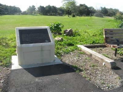
Location. 37° 35.349′ N, 122° 19.604′ W. Marker is in San Mateo, California, in San Mateo County. Marker can be reached from Coyote Point Drive near North Bayshore Boulevard. Marker is located west of the parking area across Coyote Point Drive from the golf course at Coyote Point County Park. Touch for map. Marker is in this post office area: San Mateo CA 94401, United States of America. Touch for directions.
Other nearby markers. At least 8 other markers are within 2 miles of this marker, measured as the crow flies. The Amelia Voller House (approx. 1.1 miles away); Burlingame Train Station (approx. 1.2 miles away); Burlingame Railroad Station (approx. 1.2 miles away); San Mateo’s First Residents (approx. 1.4 miles away); Anza Expedition Camp (approx. 1˝ miles away); Morse’s Corners (approx. 1.6 miles away); Mission Hospice (approx. 1.6 miles away); Higurashi-en (approx. 1.7 miles away). Touch for a list and map of all markers in San Mateo.
Additional keywords. Amusement Parks
Credits. This page was last revised on August 23, 2022. It was originally submitted on March 18, 2010, by Syd Whittle of Mesa, Arizona. This page has been viewed 1,798 times since then and 94 times this year. Photos: 1, 2. submitted on March 18, 2010, by Syd Whittle of Mesa, Arizona. 3. submitted on August 23, 2022, by Larry Gertner of New York, New York. 4. submitted on March 18, 2010, by Syd Whittle of Mesa, Arizona.


