Shallotte in Brunswick County, North Carolina — The American South (South Atlantic)
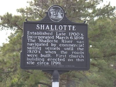
Shallotte
Erected 1995 by Shallotte Centennial Committee, on December 4.
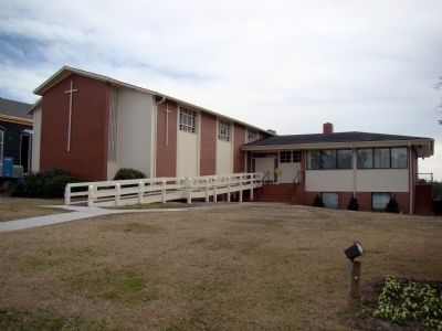
Topics. This historical marker is listed in these topic lists: Churches & Religion • Settlements & Settlers. A significant historical year for this entry is 1899.
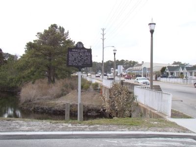
Location. 33° 58.344′ N, 78° 23.178′ W. Marker is in Shallotte, North Carolina, in Brunswick County. Marker is on Main Street (Business U.S. 17) south of Mulberry Street, on the right when traveling north. Touch for map. Marker is at or near this postal address: 4807 Main St, Shallotte NC 28470, United States of America. Touch for directions.
Other nearby markers. At least 3 other markers are within 13 miles of this marker, measured as the crow flies. Washington’s Southern Tour (approx. 3.7 miles away); Honor America's Veterans (approx. 9.4 miles away); Boundary House (approx. 12.3 miles away).
Also see . . . Welcome to the Town of Shallotte. “In the early years, residents relied on agriculture, fishing and a bustling waterfront full of flatboats, rafts, and other small watercrafts used to transport goods to and from this rural part of Brunswick County. According to some accounts, the Town received its name from a traveler who crossed the river by ferry and referred to the river as ‘Charlotte’ River. The Charlotte River later took on the name of the Shallotte River. The Town was later called Shallotte.” (Submitted on March 20, 2010.)
Credits. This page was last revised on June 16, 2016. It was originally submitted on March 20, 2010, by J. J. Prats of Powell, Ohio. This page has been viewed 1,474 times since then and 79 times this year. Photos: 1, 2, 3. submitted on March 20, 2010, by J. J. Prats of Powell, Ohio.


